Conatira

Map
Facts and practical information
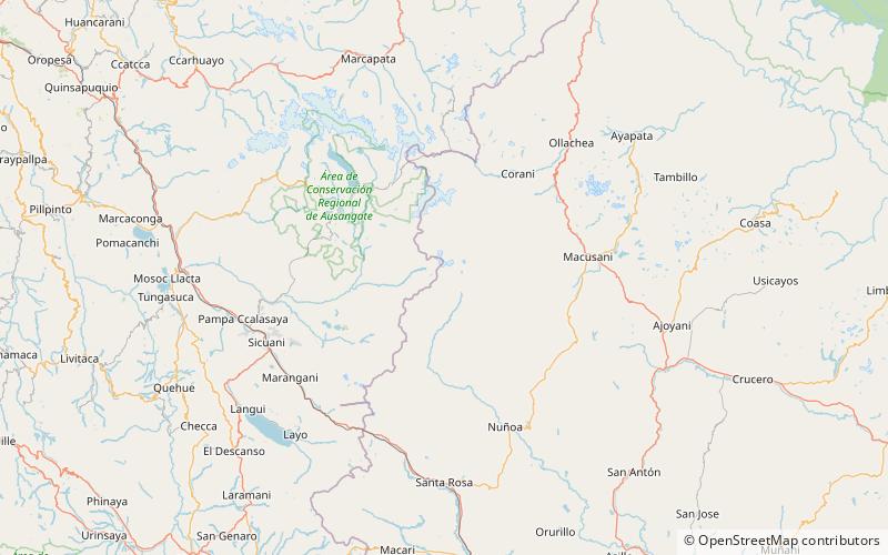
Conatira is a mountain in the Vilcanota mountain range in the Andes of Peru, about 5,200 metres high. It is situated in the Puno Region, Melgar Province, Nuñoa District. It lies southeast of the summit of Jonorana and southwest of Sachapata and Jarupata. The rivers Llancamayo and Jatun Mayo which originate north and northeast of Conatira flow along its western, southern and eastern slopes. ()
Elevation: 17060 ftCoordinates: 14°7'18"S, 70°45'2"W
Location
Puno
ContactAdd
Social media
Add
Day trips
Conatira – popular in the area (distance from the attraction)
Nearby attractions include: Jatun Sallica, Culi, Surapata, Cochacucho.


