Rocotopunta, Huascarán National Park
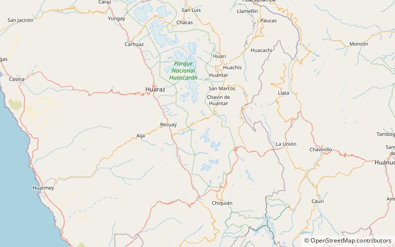
Map
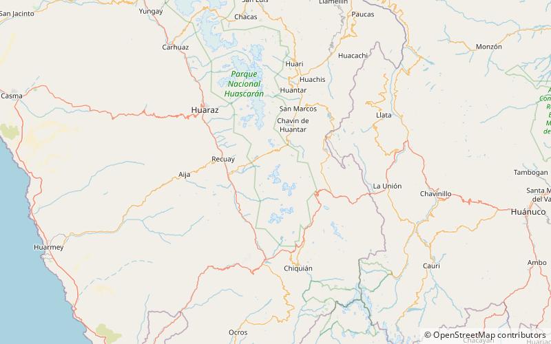
Map

Facts and practical information
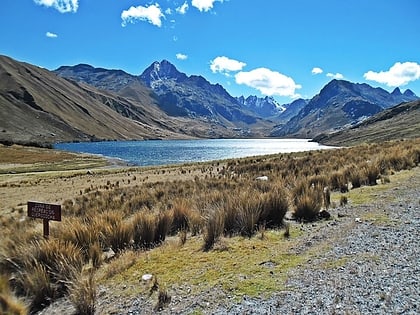
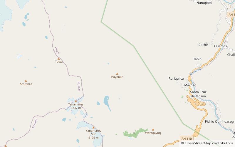
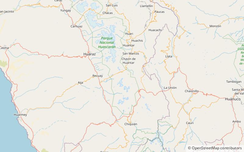
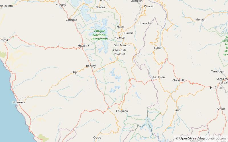
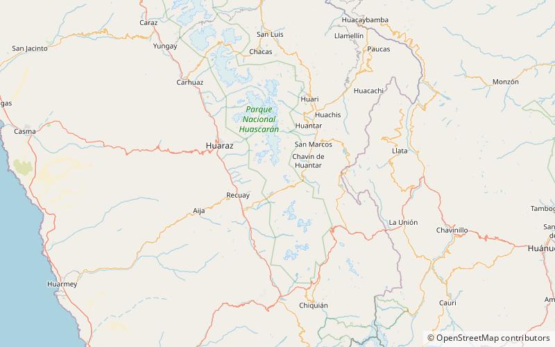
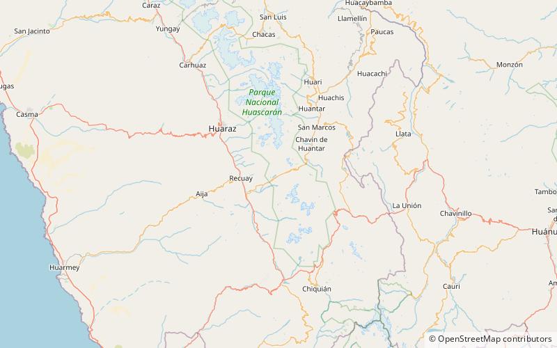
Rocotopunta is a mountain in the Cordillera Blanca in the Andes of Peru, about 4,400 m high. It is located in the Ancash Region, Recuay Province, Ticapampa District, northeast of Lake Querococha. Rocotopunta lies between Yanamarey Creek to the north and Conde Creek to the south. ()
Elevation: 14436 ftCoordinates: 9°42'20"S, 77°18'27"W
Address
Huascarán National Park
ContactAdd
Social media
Add
Day trips
Rocotopunta – popular in the area (distance from the attraction)
Nearby attractions include: Lake Querococha, Pucaraju, Kunkush Punta, Yanamarey.

