Ch'uxñaquta
Map
Facts and practical information
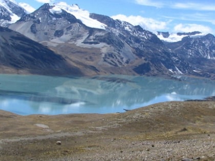
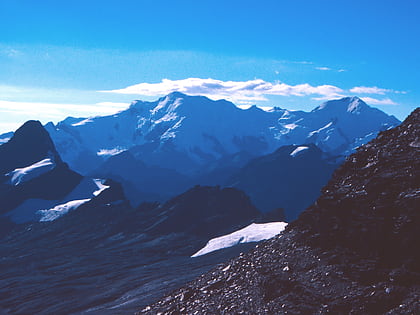
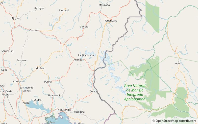
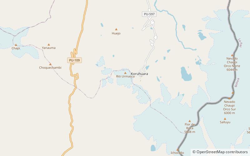
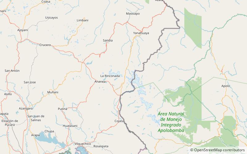
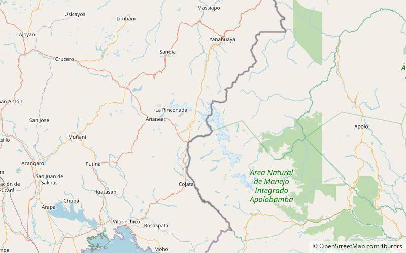
Chocñacota is a mountain in the Apolobamba mountain range in Peru and the name of a lake near the mountain. The mountain and the lake are situated in the Puno Region, Putina Province, Ananea District, near the Bolivian border. They lie southwest and northwest of the mountains Ichocollo and Palomani. ()
Elevation: 17388 ftCoordinates: 14°42'56"S, 69°16'28"W
Location
Puno
ContactAdd
Social media
Add
Day trips
Ch'uxñaquta – popular in the area (distance from the attraction)
Nearby attractions include: Palumani, Cordillera Apolobamba, Chaupi Orco Mountain, Qaqa Waychu.
