Plaza de Armas Arequipa, Arequipa
Map
Map

Facts and practical information
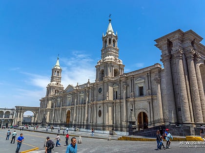
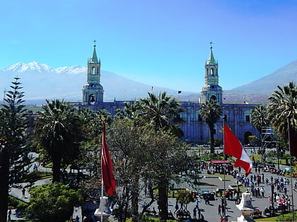
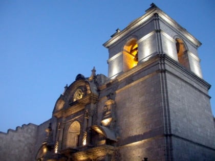
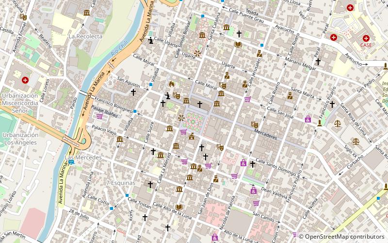
The Plaza de Armas of Arequipa is one of the main public spaces of Arequipa and the place of foundation of the city. It is located in the historic center of Arequipa, around it is the Cathedral of Arequipa in the north, the Portales de Arequipa to the east, south and west, La Iglesia La Compañía to the south-east, La Iglesia Nuestra Señora de la Merced to the south-west and in the center of the square a bronze fountain.
Coordinates: 16°23'56"S, 71°32'13"W
Address
Arequipa
ContactAdd
Social media
Add
Day trips
Plaza de Armas Arequipa – popular in the area (distance from the attraction)
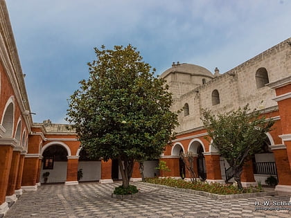
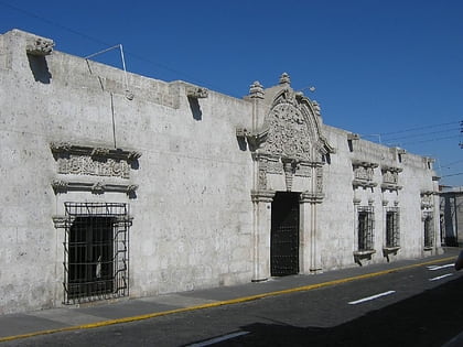
Nearby attractions include: Santa Catalina Monastery, Casa del Moral, Basilica Cathedral of Arequipa, Claustros La Compañia.
Frequently Asked Questions (FAQ)
Which popular attractions are close to Plaza de Armas Arequipa?
Nearby attractions include Basilica Cathedral of Arequipa, Arequipa (2 min walk), Claustros La Compañia, Arequipa (3 min walk), Casa del Moral, Arequipa (4 min walk), Iglesia de la Merced, Arequipa (6 min walk).
How to get to Plaza de Armas Arequipa by public transport?
The nearest stations to Plaza de Armas Arequipa:
Bus
Train
Bus
- Estación de buses La Joya (15 min walk)
- Orquídeas Tours (16 min walk)
Train
- South Peru Rail (21 min walk)
