Sala, Cabuyao
Map

Map

Facts and practical information
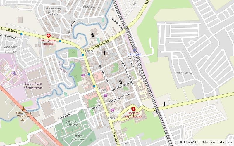
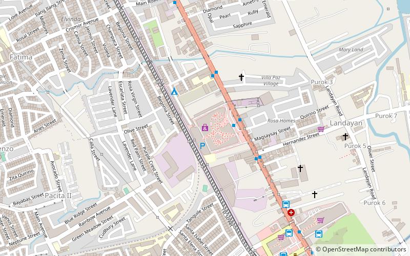
Barangay Sala is one of the eighteen urbanized barangays comprising the City of Cabuyao in the province of Laguna, Philippines. It lies for about a half kilometer away from the city proper of Cabuyao and is situated along the national highway. According to the 2010 Census, it has a population of 8,275 inhabitants, making it ranked as 12th largest barangay in Cabuyao when it comes to population. ()
Area: 0.59 mi²Coordinates: 14°16'42"N, 121°7'30"E
Address
Cabuyao
ContactAdd
Social media
Add
Day trips
Sala – popular in the area (distance from the attraction)
Nearby attractions include: Enchanted Kingdom, Agila: The EKsperience, Space Shuttle Roller Coaster, Santa Rosa de Lima Parish Church.
Frequently Asked Questions (FAQ)
How to get to Sala by public transport?
The nearest stations to Sala:
Train
Bus
Train
- Cabuyao (4 min walk)
Bus
- Fchmc • Lines: Mr 19 (21 min walk)


