Plaza Moraga, Manila
Map
Gallery
Facts and practical information
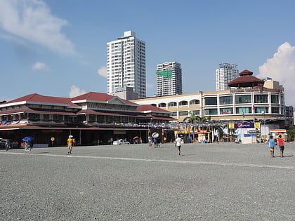
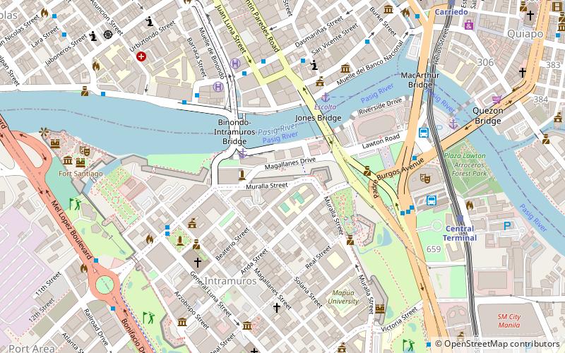
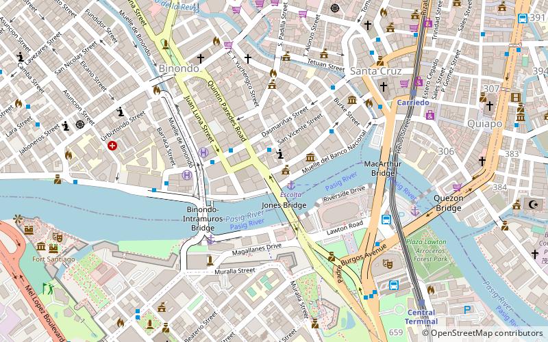
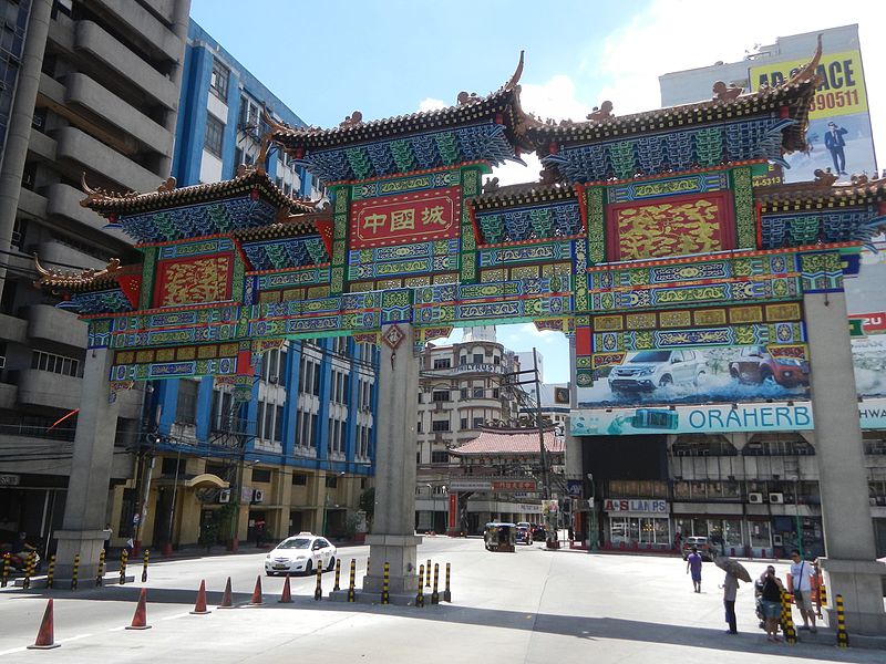
Plaza Moraga is a public square in Manila, Philippines. Serving as the gateway to Manila's Chinatown of Binondo, the plaza is located at the foot of Jones Bridge in the west end of Escolta Street. It was named after a Franciscan friar, Fr. Fernando de Moraga and it is by the opinion of many, that were it not for him, the history of the Philippines would turn out differently from what it is now. ()
Coordinates: 14°35'48"N, 120°58'37"E
Address
BinondoManila
ContactAdd
Social media
Add
Day trips
Plaza Moraga – popular in the area (distance from the attraction)
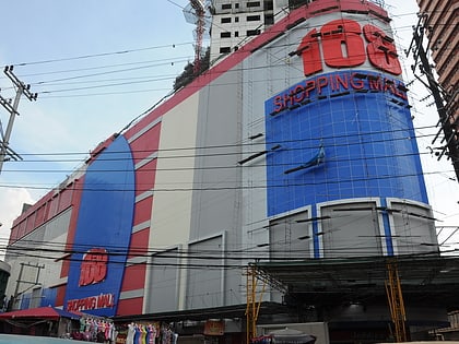
Nearby attractions include: 168 Shopping Mall, Tutuban Center, Binondo Church, SM Quiapo.
Frequently Asked Questions (FAQ)
Which popular attractions are close to Plaza Moraga?
Nearby attractions include Capitol Theater, Manila (2 min walk), Jones Bridge, Manila (2 min walk), El Hogar Filipino Building, Manila (2 min walk), Puente de España, Manila (3 min walk).
How to get to Plaza Moraga by public transport?
The nearest stations to Plaza Moraga:
Bus
Ferry
Light rail
Metro
Train
Bus
- Yuchengco • Lines: T330 (2 min walk)
- Quintin Paredes • Lines: T330 (3 min walk)
Ferry
- Escolta • Lines: Pasig River Ferry (2 min walk)
- Lawton • Lines: Pasig River Ferry (8 min walk)
Light rail
- Carriedo • Lines: 1 (9 min walk)
- Central Terminal • Lines: 1 (11 min walk)
Metro
- Recto • Lines: 2 (17 min walk)
- Legarda • Lines: 2 (28 min walk)
Train
- Tutuban (28 min walk)

