Estrella Flyover, Makati
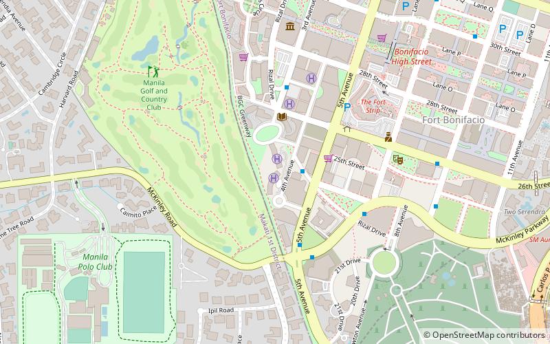
Map
Map

Facts and practical information
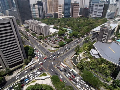
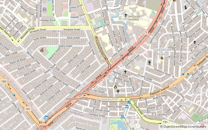
The Estrella Flyover, also known as the EDSA–Estrella Ramp and the Rockwell Flyover, is a two-lane flyover connecting Epifanio de los Santos Avenue and Estrella Street in Makati, Metro Manila, the Philippines, facilitating access to the Rockwell Center mixed-use development. ()
Opened: 23 April 2002 (23 years ago)Coordinates: 14°33'36"N, 121°2'24"E
Address
Makati District 1 (Bel-Air)Makati
ContactAdd
Social media
Add
Day trips
Estrella Flyover – popular in the area (distance from the attraction)
Nearby attractions include: Power Plant Mall, Forum Robinsons, Century City Mall, Makati Avenue.
Frequently Asked Questions (FAQ)
Which popular attractions are close to Estrella Flyover?
Nearby attractions include Kalayaan Flyover, Makati (7 min walk), Estrella Street, Makati (7 min walk), Nuestra Señora de Gracia Church, Makati (13 min walk), Kalayaan Avenue, Makati (13 min walk).
How to get to Estrella Flyover by public transport?
The nearest stations to Estrella Flyover:
Bus
Light rail
Ferry
Bus
- EDSA-Jupiter Jeepney Terminal (11 min walk)
- Sergeant Yabut • Lines: 13, 202, 210 (12 min walk)
Light rail
- Buendia • Lines: 3 (15 min walk)
- Guadalupe • Lines: 3 (16 min walk)
Ferry
- Hulo • Lines: Pasig River Ferry (18 min walk)
- Guadalupe • Lines: Pasig River Ferry (20 min walk)


