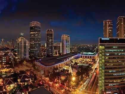
Guadalupe Bridge, Mandaluyong
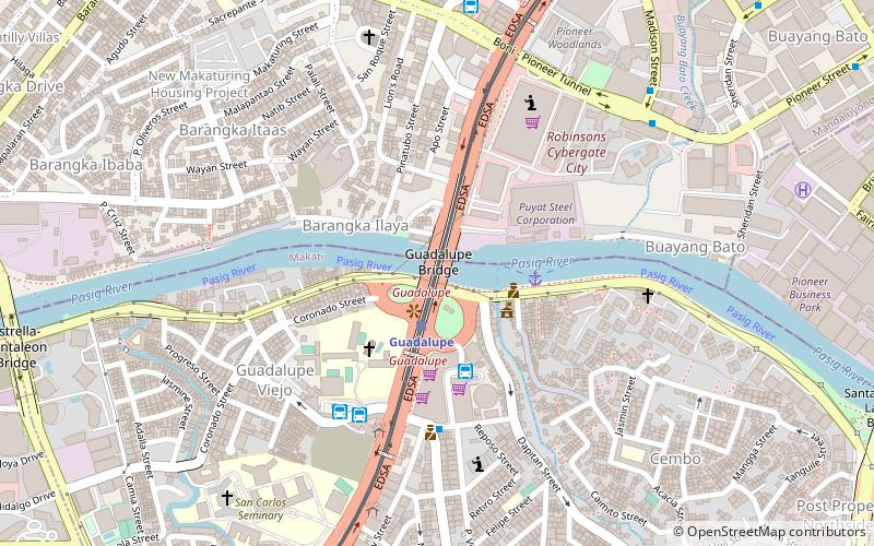

Facts and practical information
Spanning the waters of the Pasig River in the bustling city of Mandaluyong, Philippines, stands the Guadalupe Bridge, a vital thoroughfare connecting the districts of Makati and Mandaluyong. This box girder bridge, a common type of bridge where the main beams comprise girders in the shape of a hollow box, is an essential component of the Metro Manila road network.
Constructed to facilitate the smooth flow of vehicular and pedestrian traffic, Guadalupe Bridge serves as a pivotal link for commuters and travelers making their way through the heart of the metropolis. Its strategic location ensures that it is one of the busiest crossings over the Pasig River, bearing witness to the daily pulse of city life.
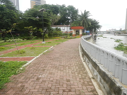
The Guadalupe Bridge, while primarily functional in its role, also offers glimpses of the surrounding cityscape. It provides a vantage point for those wishing to view the river or the city's skyline, albeit fleetingly, as they traverse the bridge.
Given its significance in the urban infrastructure, the bridge is maintained to accommodate the heavy daily traffic. It has undergone renovations and strengthening to ensure its longevity and safety, reflecting the city's commitment to sustaining its transport links.
Makati District 2 (Guadalupe Viejo)Mandaluyong
Guadalupe Bridge – popular in the area (distance from the attraction)
Nearby attractions include: Power Plant Mall, Forum Robinsons, Century City Mall, Shangri-La Plaza.
Frequently Asked Questions (FAQ)
Which popular attractions are close to Guadalupe Bridge?
How to get to Guadalupe Bridge by public transport?
Light rail
- Guadalupe • Lines: 3 (2 min walk)
- Boni • Lines: 3 (11 min walk)
Ferry
- Guadalupe • Lines: Pasig River Ferry (4 min walk)
- Hulo • Lines: Pasig River Ferry (21 min walk)
Bus
- Guadalupe Jeepney Terminal (4 min walk)
- Guadalupe - Ayala Jeepney Terminal (6 min walk)


