Boni Avenue, Mandaluyong
Map

Gallery
Facts and practical information
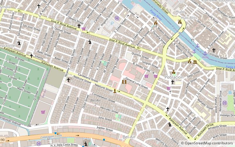
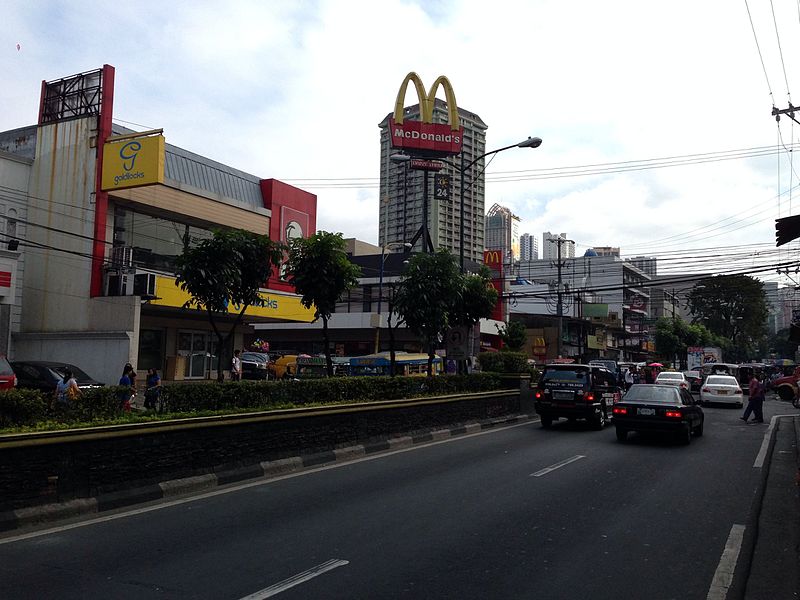
Boni Avenue is a major east–west thoroughfare in Mandaluyong, eastern Metro Manila, Philippines. It is a six-lane divided avenue that runs from Aglipay Street to Epifanio de los Santos Avenue. After crossing EDSA via the EDSA-Boni tunnel, the road continues as Pioneer Street towards Pasig. The avenue is named after the nickname of Bonifacio Javier, a decorated guerrilla leader during World War II and former mayor of Mandaluyong. ()
Length: 1.93 miCoordinates: 14°34'36"N, 121°2'6"E
Address
Mandaluyong District 2 (Plainview)Mandaluyong
ContactAdd
Social media
Add
Day trips
Boni Avenue – popular in the area (distance from the attraction)
Nearby attractions include: Power Plant Mall, Forum Robinsons, Century City Mall, Wack Wack Golf and Country Club.
Frequently Asked Questions (FAQ)
Which popular attractions are close to Boni Avenue?
Nearby attractions include Makati Poblacion Park, Makati (17 min walk), Estrella–Pantaleon Bridge, Makati (18 min walk), Rockwell Center, Makati (19 min walk), San Pedro Macati Church, Makati (20 min walk).
How to get to Boni Avenue by public transport?
The nearest stations to Boni Avenue:
Bus
Ferry
Light rail
Bus
- Barangka Drive • Lines: 307 (11 min walk)
- Boni-Pinatubo Jeepney Terminal (21 min walk)
Ferry
- Hulo • Lines: Pasig River Ferry (16 min walk)
- Valenzuela • Lines: Pasig River Ferry (17 min walk)
Light rail
- Boni • Lines: 3 (24 min walk)
- Guadalupe • Lines: 3 (25 min walk)


