Santa Cruz, Manila
Map
Gallery
Facts and practical information
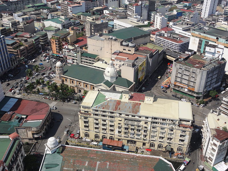
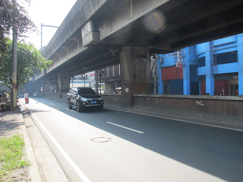
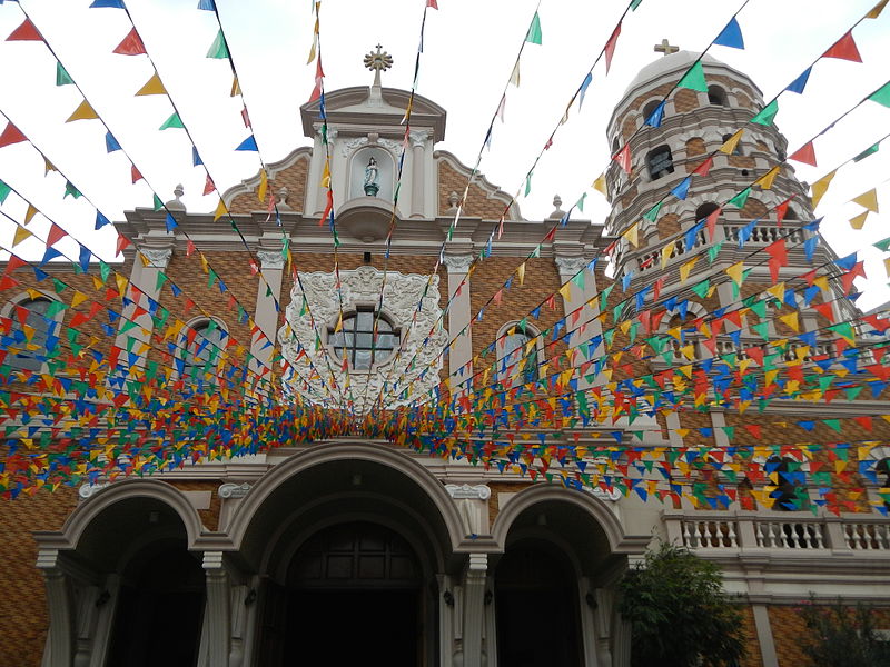
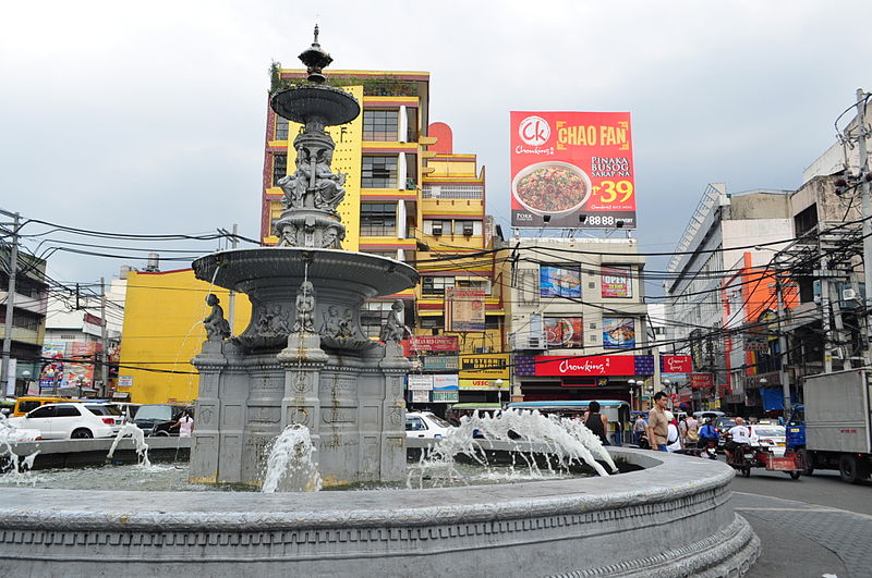
Santa Cruz is a district in the northern part of the City of Manila, Philippines, located on the right bank of the Pasig River near its mouth, bordered by the districts of Tondo, Binondo, Quiapo, and Sampaloc, and Grace Park and La Loma. The district belongs to the 3rd congressional district of Manila in the Philippines. ()
Address
Santa CruzManila
ContactAdd
Social media
Add
Day trips
Santa Cruz – popular in the area (distance from the attraction)
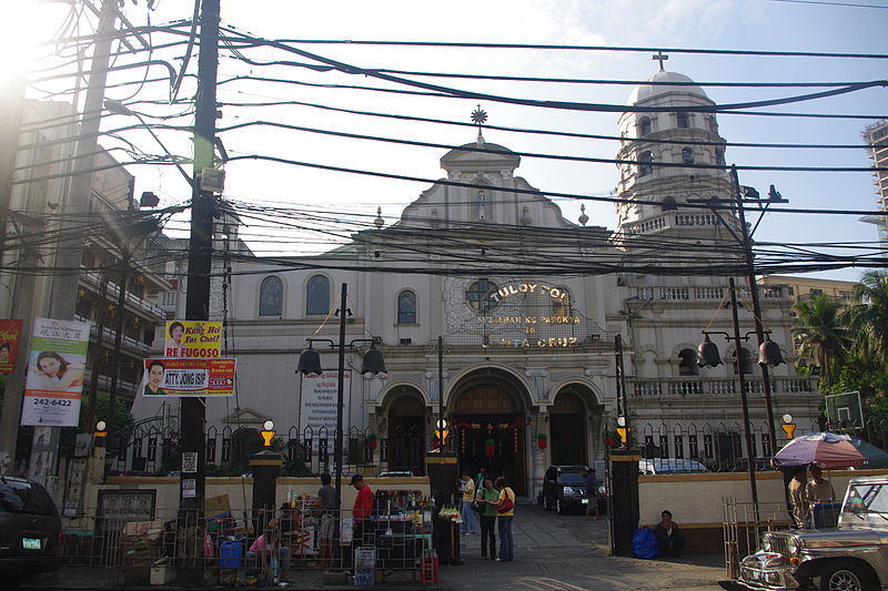
Nearby attractions include: Tutuban Center, Recto Avenue, Archdiocesan Shrine of Espiritu Santo, Arch of the Centuries.
Frequently Asked Questions (FAQ)
Which popular attractions are close to Santa Cruz?
Nearby attractions include Rizal Avenue, Manila (1 min walk), Archdiocesan Shrine of Espiritu Santo, Manila (3 min walk), Tayuman Street, Manila (9 min walk), Dangwa flower market, Manila (11 min walk).
How to get to Santa Cruz by public transport?
The nearest stations to Santa Cruz:
Light rail
Bus
Train
Metro
Light rail
- Tayuman • Lines: 1 (2 min walk)
- Bambang • Lines: 1 (9 min walk)
Bus
- Avenida/LRT Tayuman • Lines: T327 (3 min walk)
- Tayuman-Felix Huertas • Lines: T3138, T327, T378 (4 min walk)
Train
- Blumentritt (13 min walk)
- Laon Laan (17 min walk)
Metro
- Recto • Lines: 2 (22 min walk)
- Legarda • Lines: 2 (31 min walk)


