Iloilo River Esplanade, Iloilo
Map

Map

Facts and practical information
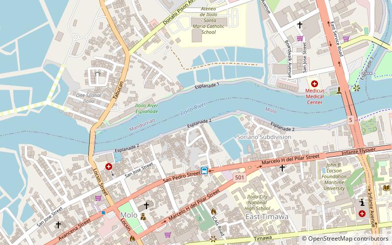
Iloilo River Esplanade is an esplanade along Iloilo River in Iloilo City, Philippines that was opened on August 18, 2012. It stretches 9.035 kilometers in total length from Carpenter's Bridge in Mandurriao to Muelle Loney Bridge in City Proper. The project cost ₱1.12 billion and was designed by Paolo Alcazaren. There are proposals to extend the esplanade from the Carpenter's Bridge to Barangay Sooc, Arevalo, Iloilo City. ()
Elevation: 10 ft a.s.l.Coordinates: 10°42'4"N, 122°32'49"E
Day trips
Iloilo River Esplanade – popular in the area (distance from the attraction)
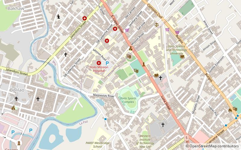
Nearby attractions include: Iloilo Sports Complex, SM City, Festive Walk Mall, Jaro Cathedral.
Frequently Asked Questions (FAQ)
Which popular attractions are close to Iloilo River Esplanade?
Nearby attractions include Jaro Cathedral, Iloilo (21 min walk), Jaro Evangelical Church, Iloilo (21 min walk), Jaro, Iloilo (21 min walk).
How to get to Iloilo River Esplanade by public transport?
The nearest stations to Iloilo River Esplanade:
Bus
Bus
- Igbaras Jeepney (32 min walk)


