Santa Mesa, Manila
Map

Gallery

Facts and practical information
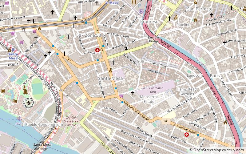
Santa Mesa is a district in Manila, Philippines. It is surrounded by Pasig River on the southwestern side, and by the San Juan River on its southern and eastern side. Land borders include the districts of San Miguel to the west and Sampaloc to the north; and to the northeast is Quezon City. ()
Address
Santa MesaManila
ContactAdd
Social media
Add
Day trips
Santa Mesa – popular in the area (distance from the attraction)
Nearby attractions include: Mabini Shrine, Historic houses in Santa Ana, Church of San Juan del Monte, Santa Ana Church.
Frequently Asked Questions (FAQ)
Which popular attractions are close to Santa Mesa?
Nearby attractions include Victorino Mapa Street, Manila (2 min walk), San Juan River Bridge, Manila (6 min walk), Mabini Shrine, Manila (13 min walk), Philippine Nedo Kagyu Bodhi Dharma Foundation, Manila (13 min walk).
How to get to Santa Mesa by public transport?
The nearest stations to Santa Mesa:
Bus
Metro
Ferry
Train
Bus
- Bacood • Lines: 307, T393 (3 min walk)
- Old Santa Mesa • Lines: 306, 307, T393 (5 min walk)
Metro
- V. Mapa • Lines: 2 (10 min walk)
- Pureza • Lines: 2 (23 min walk)
Ferry
- Pup • Lines: Pasig River Ferry (14 min walk)
- Lambingan • Lines: Pasig River Ferry (21 min walk)
Train
- Santa Mesa (14 min walk)
- Pandacan (22 min walk)


