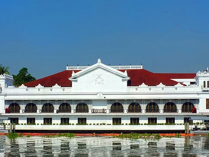
Pedro Gil Street, Manila
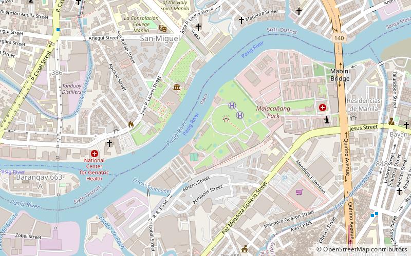
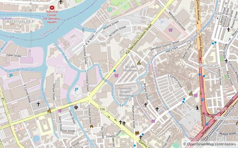
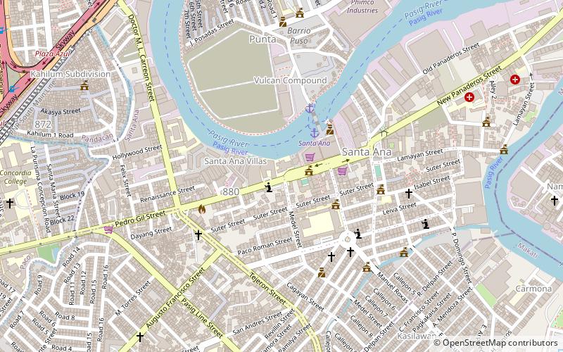
Map
Gallery
Facts and practical information
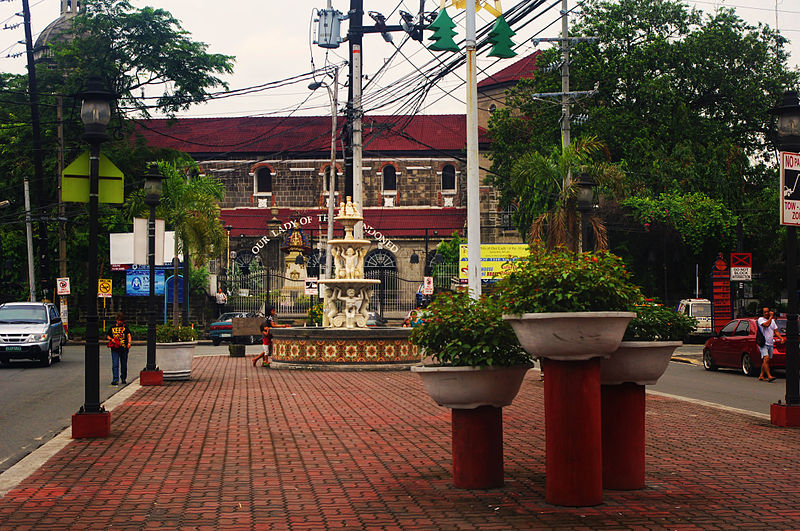
Pedro Gil Street is an east-west inner city street and a tertiary national road in south-central Manila, Philippines. It is 3.649 kilometers long and spans the entire length of Ermita, Malate, Paco and Santa Ana districts, as well as portions of San Andres. ()
Coordinates: 14°34'52"N, 121°0'38"E
Address
Santa AnaManila
ContactAdd
Social media
Add
Day trips
Pedro Gil Street – popular in the area (distance from the attraction)
Nearby attractions include: Malacañang Palace, Mabini Shrine, Historic houses in Santa Ana, Bahay ng Pagbabago.
Frequently Asked Questions (FAQ)
Which popular attractions are close to Pedro Gil Street?
Nearby attractions include Lichauco Heritage House, Manila (2 min walk), Santa Ana, Manila (4 min walk), Santa Ana Church, Manila (7 min walk), Historic houses in Santa Ana, Manila (11 min walk).
How to get to Pedro Gil Street by public transport?
The nearest stations to Pedro Gil Street:
Ferry
Bus
Train
Ferry
- Santa Ana • Lines: Pasig River Ferry (4 min walk)
- Lambingan • Lines: Pasig River Ferry (18 min walk)
Bus
- Punta Jeepney Terminal (7 min walk)
- Circuit Makati Transport Terminal (16 min walk)
Train
- Pandacan (17 min walk)
- Paco (20 min walk)

