MacArthur Bridge, Manila
Map

Map

Facts and practical information
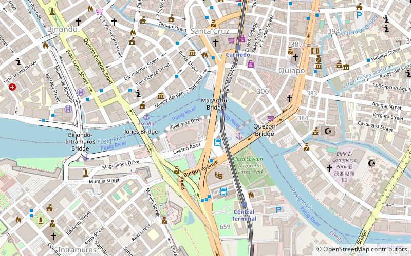
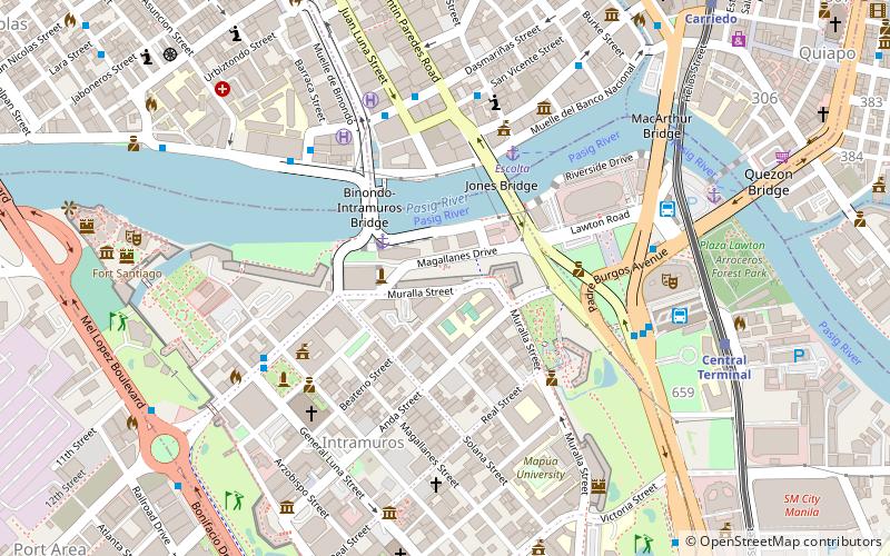
MacArthur Bridge is a road bridge crossing the Pasig River between Padre Burgos Avenue in Ermita and the intersection of Plaza Santa Cruz, Carriedo Street, Carlos Palanca Street, and Muelle del Banco Nacional in Santa Cruz. It replaced the Santa Cruz Bridge, which was destroyed during the World War II. The bridge is named after General Douglas MacArthur, whose military operations led to the liberation of the Philippines during the World War II. ()
Length: 558 ftCoordinates: 14°35'45"N, 120°58'48"E
Address
ErmitaManila
ContactAdd
Social media
Add
Day trips
MacArthur Bridge – popular in the area (distance from the attraction)
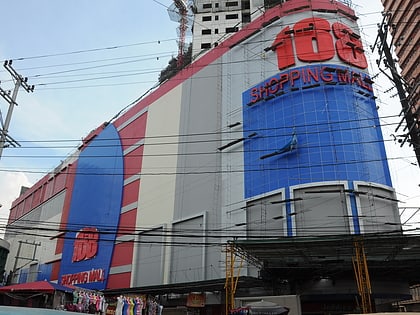
Nearby attractions include: 168 Shopping Mall, SM Quiapo, Santa Cruz Church, Recto Avenue.
Frequently Asked Questions (FAQ)
Which popular attractions are close to MacArthur Bridge?
Nearby attractions include Manila Metropolitan Theater, Manila (3 min walk), Liwasang Bonifacio, Manila (4 min walk), Puente de España, Manila (4 min walk), Puente Colgante, Manila (4 min walk).
How to get to MacArthur Bridge by public transport?
The nearest stations to MacArthur Bridge:
Bus
Ferry
Light rail
Metro
Train
Bus
- Manila Multi-modal Terminal (2 min walk)
- Lawton • Lines: 17, 39, 6, T3138, T378 (4 min walk)
Ferry
- Lawton • Lines: Pasig River Ferry (3 min walk)
- Escolta • Lines: Pasig River Ferry (5 min walk)
Light rail
- Carriedo • Lines: 1 (6 min walk)
- Central Terminal • Lines: 1 (7 min walk)
Metro
- Recto • Lines: 2 (15 min walk)
- Legarda • Lines: 2 (23 min walk)
Train
- Tutuban (31 min walk)
- España (41 min walk)


