Tomas Morato Avenue, Quezon City
Map

Gallery

Facts and practical information
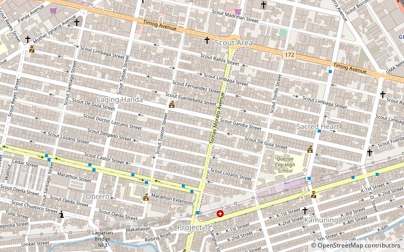
Tomas Morato Avenue is a street located in Quezon City within the Diliman and New Manila areas of northeastern Metro Manila, Philippines. The street links Eulogio Rodriguez Sr. Avenue in the village of Mariana in the south with Eugenio Lopez Drive in South Triangle in the north, and passes through Barangays Sacred Heart, Laging Handa, Kamuning, Obrero, and Kristong Hari. It was named after the first mayor of Quezon City. ()
Length: 5525 ftCoordinates: 14°37'53"N, 121°2'2"E
Address
Barangay Talipapa, Quirino HighwayQuezon City District 4 (Laging Handa)Quezon City
Contact
Social media
Add
Day trips
Tomas Morato Avenue – popular in the area (distance from the attraction)
Nearby attractions include: Robinsons Magnolia, Fisher Mall, Millennium Transmitter, Balete Drive.
Frequently Asked Questions (FAQ)
Which popular attractions are close to Tomas Morato Avenue?
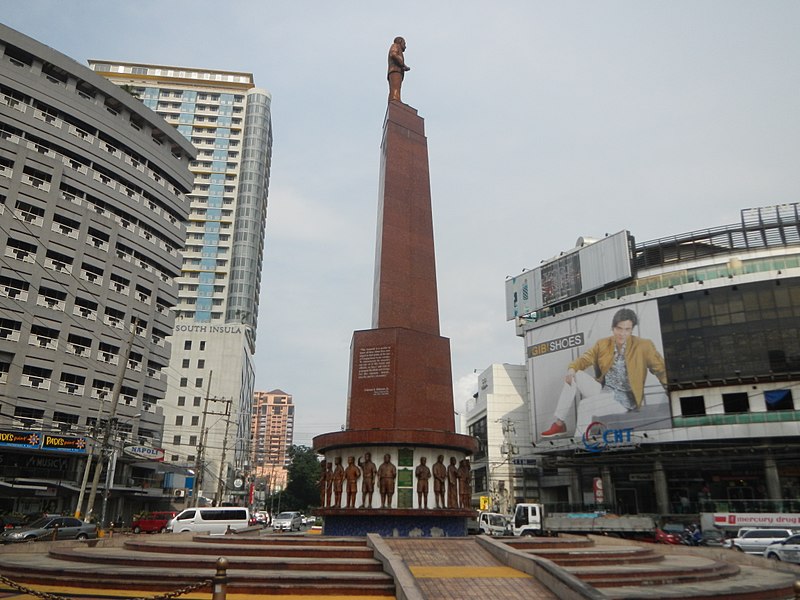
Nearby attractions include Timog Avenue, Quezon City (7 min walk), 11th World Scout Jamboree Memorial Rotonda, Quezon City (7 min walk), Kamuning Road, Quezon City (11 min walk), Asian Theological Seminary, Quezon City (11 min walk).
How to get to Tomas Morato Avenue by public transport?
The nearest stations to Tomas Morato Avenue:
Bus
Light rail
Metro
Bus
- Tomas Morato/Don A. Roces • Lines: 303 (5 min walk)
- Roces High School • Lines: 303 (6 min walk)
Light rail
- GMA Kamuning • Lines: 3 (18 min walk)
- Quezon Avenue • Lines: 3 (21 min walk)
Metro
- Betty Go - Belmonte • Lines: 2 (28 min walk)


