Pulo, Cabuyao

Gallery (1)
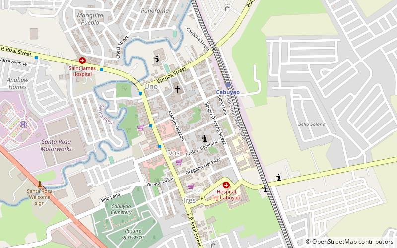
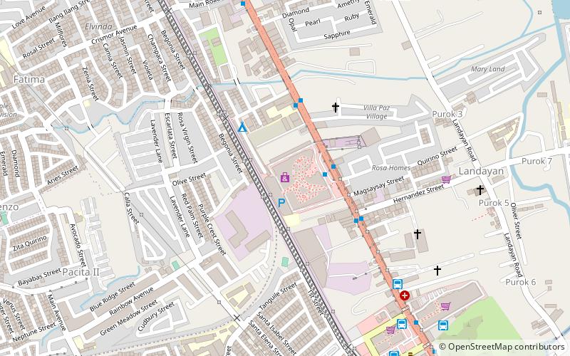
Map
Map
Facts and practical information
Barangay Pulo is one of the eighteen urbanized barangays comprising the city of Cabuyao in the province of Laguna, Philippines. It lies for about 3 kilometers away from the city proper of Cabuyao and is situated along the national highway. According to the 2010 Census, it has a population of 15,124 inhabitants, making it ranked as the 6th largest barangay in Cabuyao when it comes to population. ()
Area: 1.89 mi²Coordinates: 14°16'42"N, 121°7'30"E
Address
Cabuyao
ContactAdd
Social media
Add
Getting there by public transportation
Public transportation stops near this location
- Bus
- Train
 Bus
Bus
- Calculate routeCabuyao 4 min walk
- Calculate routeFchmc 21 min walk
Day trips


Frequently Asked Questions (FAQ)
How to get to Pulo by public transport?
The nearest stations to Pulo:
Train
Bus
Train
- Cabuyao (4 min walk)
Bus
- Fchmc • Lines: Mr 19 (21 min walk)