Quezon Avenue, Quezon City
Map
Gallery
Facts and practical information
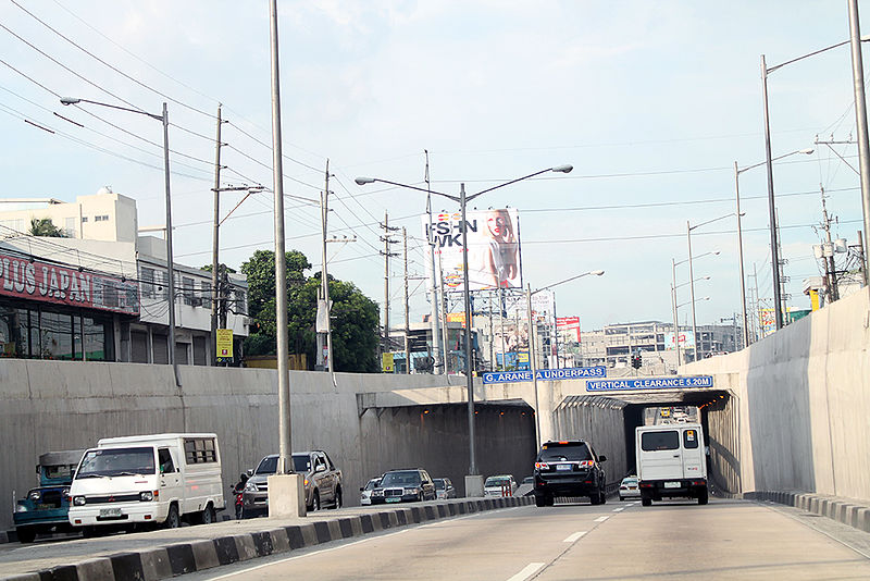
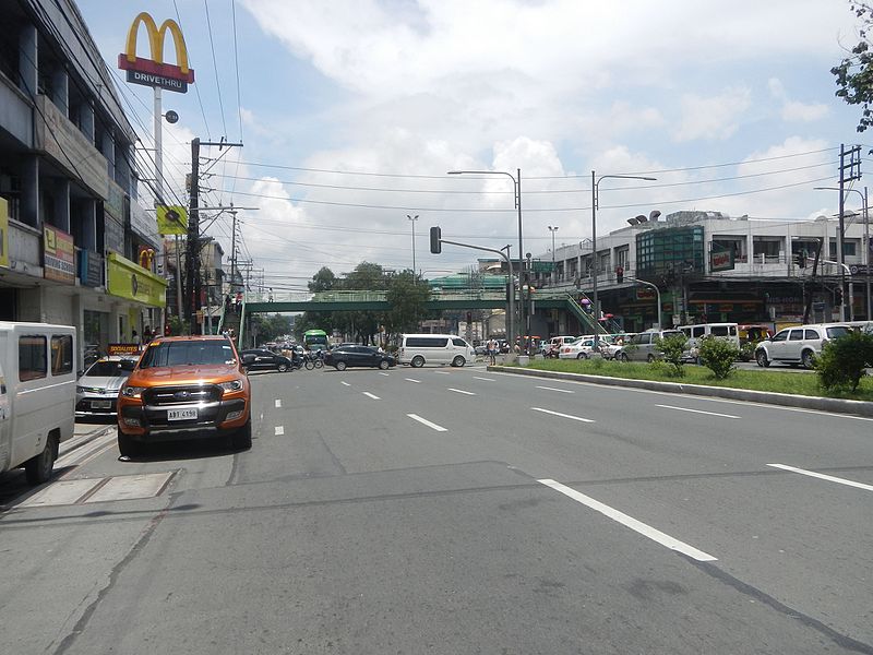
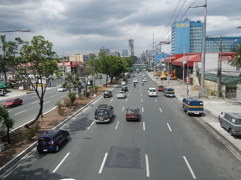
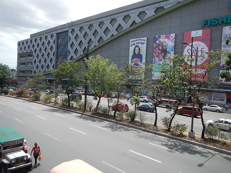
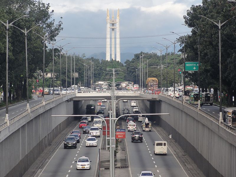
Manuel L. Quezon Avenue, more often called as Quezon Avenue, or simply Quezon Ave, is a 7.1-kilometer, six-to-fourteen lane, major thoroughfare in Metro Manila named after President Manuel Luis Quezon, the second president of the Philippines. The avenue starts at the Quezon Memorial Circle and runs through to the Mabuhay Rotonda near the boundary of Quezon City and Manila. ()
Coordinates: 14°38'6"N, 121°1'23"E
Address
Quezon City District 4 (Paligsahan)Quezon City
ContactAdd
Social media
Add
Day trips
Quezon Avenue – popular in the area (distance from the attraction)
Nearby attractions include: Trinoma Shopping Mall, Santo Domingo Church, Fisher Mall, Basilica Minore de Santuario de San Pedro Bautista.
Frequently Asked Questions (FAQ)
Which popular attractions are close to Quezon Avenue?
Nearby attractions include Amoranto Sports Complex, Quezon City (9 min walk), Basilica Minore de Santuario de San Pedro Bautista, Quezon City (20 min walk), Tomas Morato Avenue, Quezon City (20 min walk), Sanctuarium, Quezon City (21 min walk).
How to get to Quezon Avenue by public transport?
The nearest stations to Quezon Avenue:
Bus
Light rail
Bus
- Quezon-Timog Avenue • Lines: 6, Jeepney T392 (5 min walk)
- Fisher Mall/Pantranco • Lines: 6, Jeepney T392, T210, T392 (5 min walk)
Light rail
- Quezon Avenue • Lines: 3 (30 min walk)


