Commonwealth Avenue, Quezon City
Map

Map

Facts and practical information
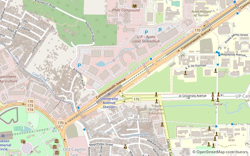
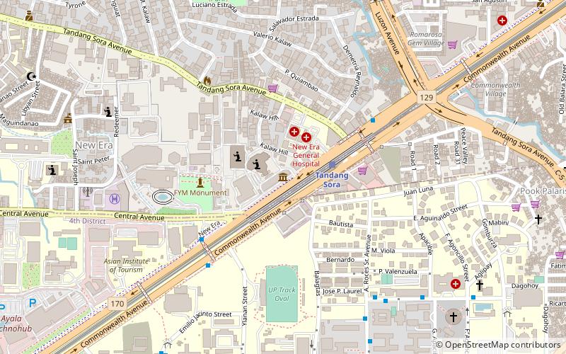
Commonwealth Avenue, formerly known as Don Mariano Marcos Avenue, is a 12.4-kilometer highway located in Quezon City, Philippines, which spans from six to eighteen lanes and is the widest in the Philippines. It is one of the major roads in Metro Manila and is designated as part of Radial Road 7 of the older Manila arterial road system and National Route 170 of the Philippine highway network. ()
Coordinates: 14°39'22"N, 121°3'22"E
Address
Quezon City District 4 (University of Philippines Diliman Campus)Quezon City
ContactAdd
Social media
Add
Day trips
Commonwealth Avenue – popular in the area (distance from the attraction)
Nearby attractions include: Oblation Statue, Vargas Museum, Quezon Memorial Shrine, PAGASA Observatory.
Frequently Asked Questions (FAQ)
Which popular attractions are close to Commonwealth Avenue?
Nearby attractions include UP Diliman AGT, Quezon City (9 min walk), University of the Philippines Arboretum, Quezon City (11 min walk), Quezon City Experience, Quezon City (12 min walk), Net 25 Tower, Quezon City (14 min walk).
How to get to Commonwealth Avenue by public transport?
The nearest stations to Commonwealth Avenue:
Train
Bus
Light rail
Train
- University of the Philippines (3 min walk)
- Quezon Memorial Circle (16 min walk)
Bus
- UP Ayala Techno Hub • Lines: 5, 7, Jeepney T392 (4 min walk)
- Philcoa • Lines: 5, 7, Jeepney T392 (7 min walk)
Light rail
- Quezon Avenue • Lines: 3 (39 min walk)


