Paco, Manila
Map

Gallery

Facts and practical information
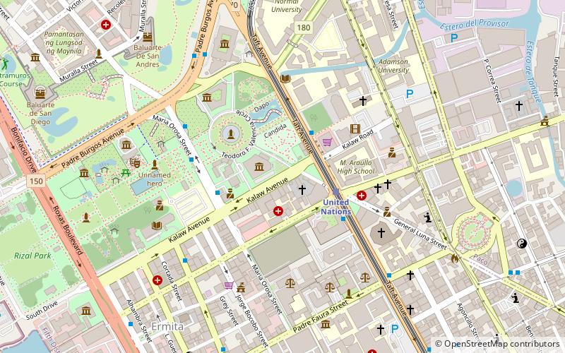
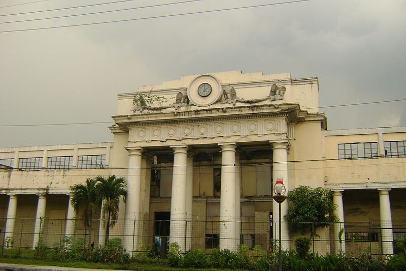
Paco, formerly known as Dilao, is a district of Manila, Philippines located south of the Pasig River, and San Miguel, west of Santa Ana, southwest of Pandacan, north of Malate, northwest of San Andres Bukid, and east of Ermita. According to the 2000 census, it has a population of 64,184 people in 13,438 households. ()
Address
ErmitaManila
ContactAdd
Social media
Add
Day trips
Paco – popular in the area (distance from the attraction)
Nearby attractions include: Robinsons Place Manila, Rizal Monument, National Museum of Anthropology, Rizal Park Open Air Auditorium.
Frequently Asked Questions (FAQ)
Which popular attractions are close to Paco?
Nearby attractions include Ermita, Manila (1 min walk), Plaza Olivia Salamanca, Manila (2 min walk), Central United Methodist Church, Manila (2 min walk), National Museum of Natural History, Manila (2 min walk).
How to get to Paco by public transport?
The nearest stations to Paco:
Light rail
Bus
Ferry
Train
Light rail
- United Nations • Lines: 1 (3 min walk)
- Pedro Gil • Lines: 1 (15 min walk)
Bus
- Rizal Park • Lines: 17, 39, 6 (3 min walk)
- TM Kalaw-Maria Orosa • Lines: T378 (4 min walk)
Ferry
- Lawton • Lines: Pasig River Ferry (23 min walk)
- Escolta • Lines: Pasig River Ferry (26 min walk)
Train
- Paco (29 min walk)
- San Andres (34 min walk)


