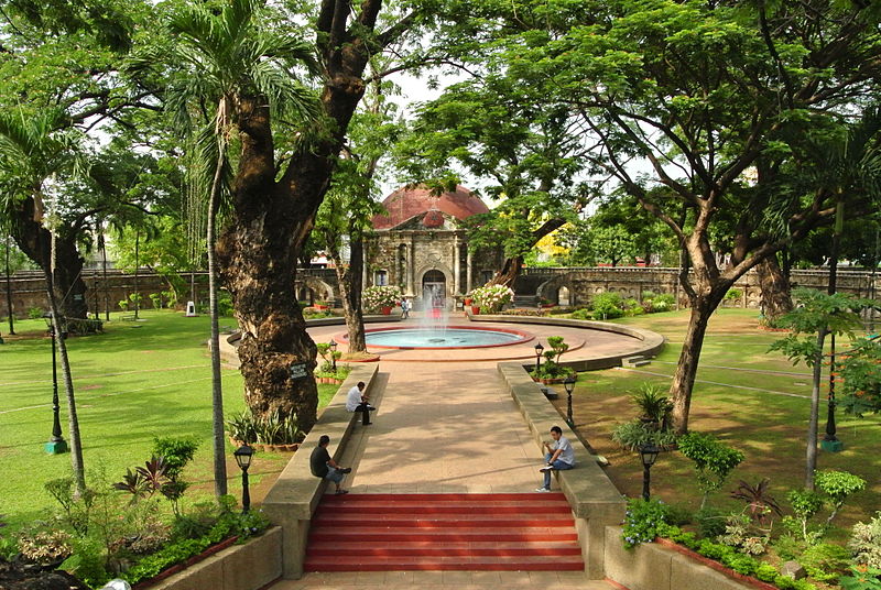
Paco Park, Manila
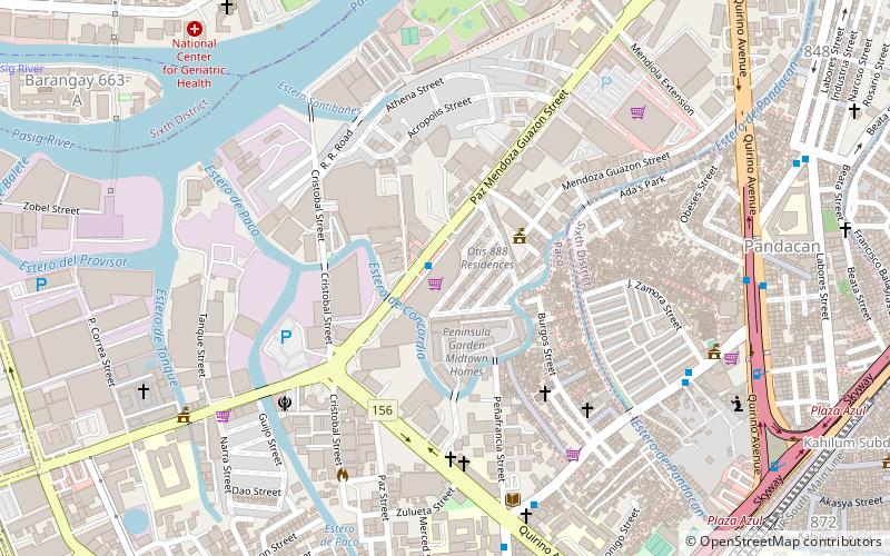
Map
Gallery
Facts and practical information
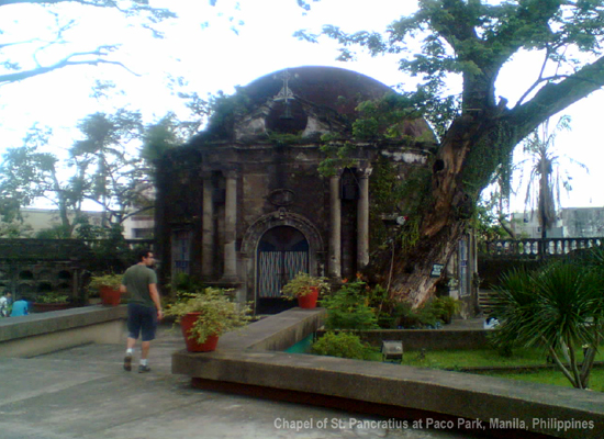
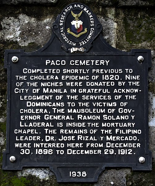
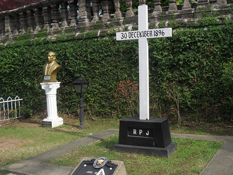
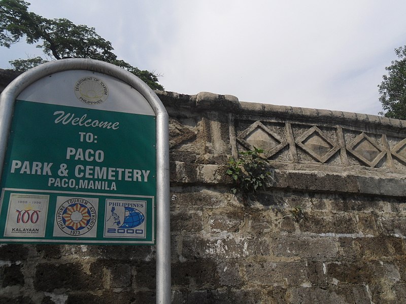
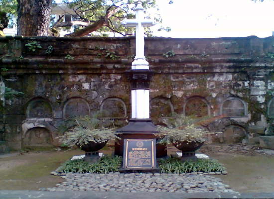
The Paco Park is a recreational garden and was once Manila's municipal cemetery built by the Dominicans during the Spanish colonial period. It is located on General Luna Street and at the east end of Padre Faura Street in Paco, Manila, Philippines. ()
Created: 1966Elevation: 26 ft a.s.l.Coordinates: 14°34'51"N, 120°59'20"E
Day trips
Paco Park – popular in the area (distance from the attraction)
Nearby attractions include: Robinsons Place Manila, National Museum of Anthropology, Museo Pambata, Plaza Olivia Salamanca.
Frequently Asked Questions (FAQ)
Which popular attractions are close to Paco Park?
Nearby attractions include Iglesia Filipina Independiente National Cathedral, Manila (5 min walk), Cosmopolitan Church, Manila (5 min walk), Asilo de San Vicente de Paul, Manila (7 min walk), Plaza Rueda, Manila (7 min walk).
How to get to Paco Park by public transport?
The nearest stations to Paco Park:
Bus
Light rail
Train
Ferry
Bus
- Apacible-Romualdez • Lines: 301 (3 min walk)
- Angel Linao • Lines: 301 (5 min walk)
Light rail
- Pedro Gil • Lines: 1 (8 min walk)
- United Nations • Lines: 1 (9 min walk)
Train
- Paco (18 min walk)
- San Andres (23 min walk)
Ferry
- Lawton • Lines: Pasig River Ferry (30 min walk)
- Escolta • Lines: Pasig River Ferry (34 min walk)


