Ayuntamiento de Manila, Manila
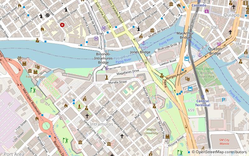
Map
Gallery
Facts and practical information
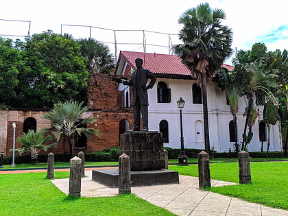
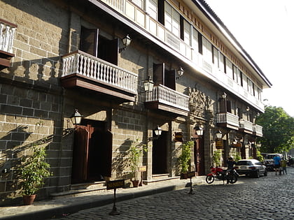
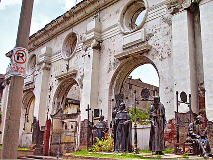
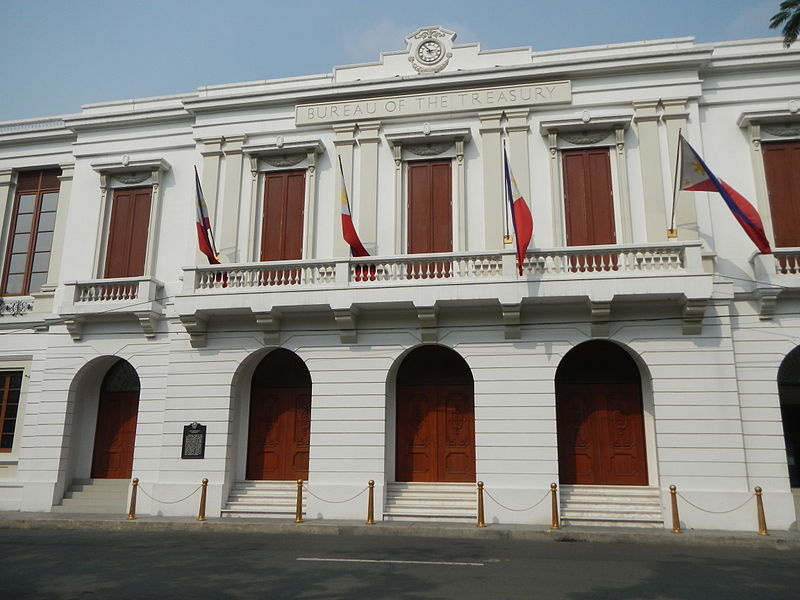
The Ayuntamiento de Manila is a building located at the corner of Andrés Soriano Avenue and Cabildo Street, fronting Plaza de Roma in Intramuros, Manila, Philippines. Also known as the Casas Consistoriales and also nicknamed as the Marble Palace, the Ayuntamiento was the seat of the Manila City Council, which consisted of two alcaldes, eight oidores, a clerk, and a chief constable. Destroyed in World War II and reconstructed thereafter, the building now houses the offices of the Bureau of the Treasury. ()
Demolished: 1863Opened: 2013 (13 years ago)Architectural style: NeoclassicismFloors: 4Coordinates: 14°35'33"N, 120°58'23"E
Day trips
Ayuntamiento de Manila – popular in the area (distance from the attraction)
Nearby attractions include: Fort Santiago, Manila Cathedral, San Agustin Church, Rizal Shrine.
Frequently Asked Questions (FAQ)
Which popular attractions are close to Ayuntamiento de Manila?
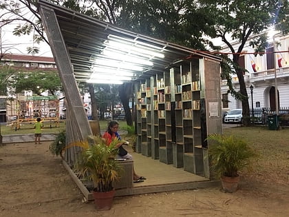
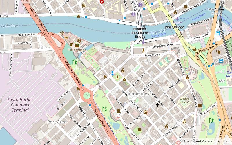
Nearby attractions include Book Stop Intramuros, Manila (1 min walk), Plaza de Roma, Manila (1 min walk), Manila Cathedral, Manila (3 min walk), Colegio de Santa Rosa, Manila (4 min walk).
How to get to Ayuntamiento de Manila by public transport?
The nearest stations to Ayuntamiento de Manila:
Bus
Ferry
Light rail
Metro
Bus
- Intramuros • Lines: 2, P2P UBE-Robinsons (6 min walk)
- Four Seasons Riviera • Lines: T330 (7 min walk)
Ferry
- Escolta • Lines: Pasig River Ferry (11 min walk)
- Lawton • Lines: Pasig River Ferry (16 min walk)
Light rail
- Central Terminal • Lines: 1 (15 min walk)
- Carriedo • Lines: 1 (19 min walk)
Metro
- Recto • Lines: 2 (27 min walk)


