Calabanga

Gallery (1)
Map
Map
Facts and practical information
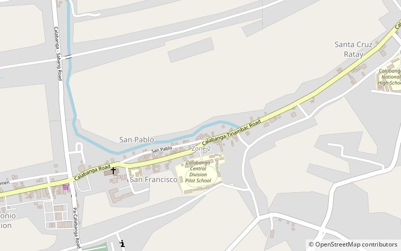
Calabanga, officially the Municipality of Calabanga, is a 1st class municipality in the province of Camarines Sur, Philippines. According to the 2020 census, it has a population of 88,906 people. ()
Alternative names: Founded: 1578 (448 years ago)Population: 26.8 thous.Area: 63.24 mi²Coordinates: 13°42'36"N, 123°13'12"E
Location
Camarines Sur
ContactAdd
Social media
Add
Day trips


