Magapit Protected Landscape

Facts and practical information
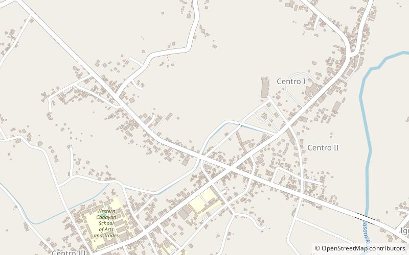
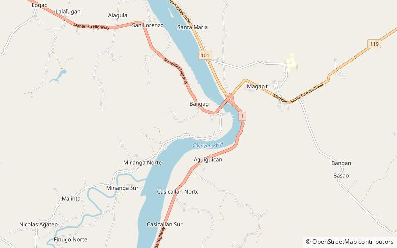
The Magapit Protected Landscape is a protected area of forested limestone hills and grasslands in the Cagayan Valley of northern Luzon island in the Philippines. It covers an area of 3,403.62 hectares in northeastern Cagayan province straddling the municipalities of Lal-lo and Gattaran. The park was established as a game refuge and bird sanctuary on 15 August 1947 covering an initial area of 4,554 hectares declared through Administrative Order No. 10 by President Manuel Roxas. On 23 April 2000, the park was redesignated as a protected landscape area under the National Integrated Protected Areas System Act through Proclamation No. 285 signed by President Joseph Estrada. The park is a component of the Northeastern Cagayan Key Biodiversity Area and also contains the Lal-lo and Gattaran Shell Middens, a proposed World Heritage Site. ()
Cagayan
Best Ways to Experience the Park
Wildlife
AnimalsSee what popular animal species you can meet in this location.
Magapit Protected Landscape – popular in the area (distance from the attraction)
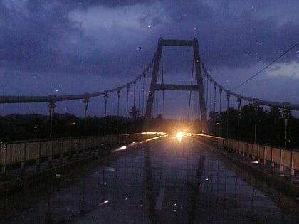
Nearby attractions include: Magapit Suspension Bridge, Gattaran, Lasam.

