6underground, Pasig
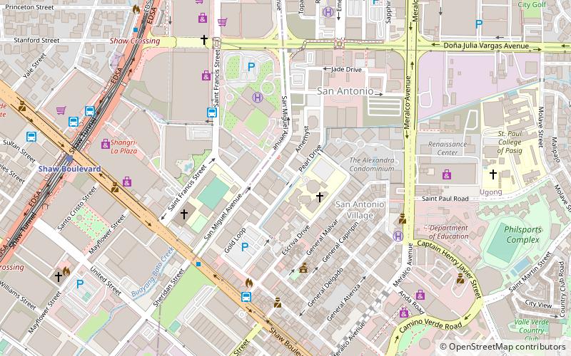
Map
Facts and practical information
6UNDERGROUND Live & Raw is a music venue in the Philippines established in 2004. Since 2006, the bar is located in the Ortigas Center on the premises of a rock bar called Kalye, which was active in the 1990s. ()
Coordinates: 14°34'50"N, 121°3'36"E
Address
Pasig City District 1 (San Antonio)Pasig
ContactAdd
Social media
Add
Getting there by public transportation
Public transportation stops near this location
- Bus
- Light rail
- Ferry
 Bus
Bus
- Calculate routeUV Express 7 min walk
- Calculate routeJeepney Terminal 9 min walk
- Calculate routePUJ Morong-Tanay 11 min walk
- Calculate routeUV Express - Sta Rosa 12 min walk
- Calculate routeOrtigas 15 min walk
- Calculate routeBoni 24 min walk
- Calculate routeGuadalupe 34 min walk
- Calculate routeGuadalupe 31 min walk
Day trips
6underground – popular in the area (distance from the attraction)
Nearby attractions include: Robinsons Galleria, SM Megamall, Forum Robinsons, Shangri-La Plaza.


Frequently Asked Questions (FAQ)
Which popular attractions are close to 6underground?
Nearby attractions include Ortigas Center, Pasig (6 min walk), One San Miguel Avenue, Pasig (6 min walk), López Museum and Library, Pasig (7 min walk), The St. Francis, Mandaluyong (7 min walk).
How to get to 6underground by public transport?
The nearest stations to 6underground:
Bus
Light rail
Ferry
Bus
- UV Express (7 min walk)
- Jeepney Terminal (9 min walk)
Light rail
- Ortigas • Lines: 3 (15 min walk)
- Boni • Lines: 3 (24 min walk)
Ferry
- Guadalupe • Lines: Pasig River Ferry (31 min walk)