Greenfield District, Mandaluyong

Gallery (3)
Map
Map
Gallery
Facts and practical information
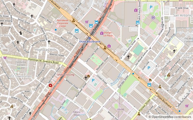
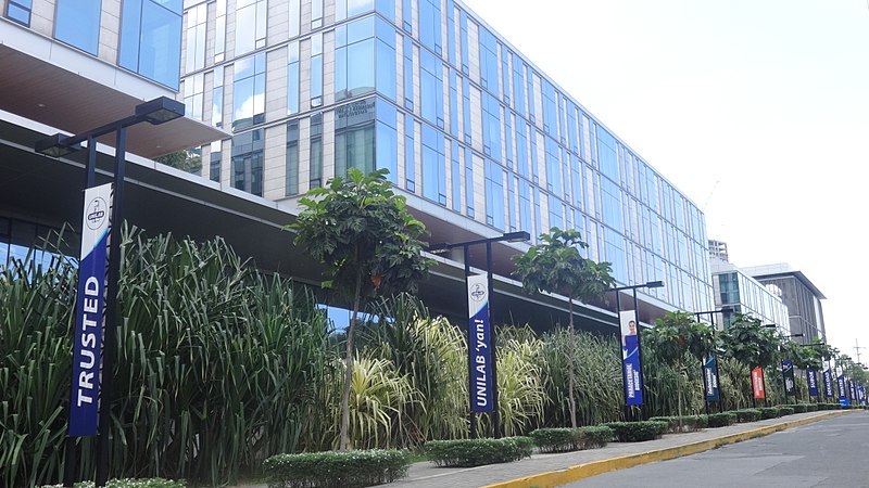
Greenfield District is a transit-oriented mixed-use development next to a rail station in Mandaluyong, Metro Manila, the Philippines. It is a redevelopment of the old United Laboratories pharmaceutical plant and adjacent retail market in the village of Highway Hills adjoining the Kapitolyo village of Pasig to the east. The 15-hectare mixed commercial and residential complex is in the crossroads of EDSA and Shaw Boulevard immediately south of the Ortigas Center financial district. It consists of an office tower, condominium high-rises, a central park, retail centers and recreational facilities. ()
Elevation: 151 ft a.s.l.Coordinates: 14°34'45"N, 121°3'15"E
Getting there by public transportation
Public transportation stops near this location
- Bus
- Light rail
- Ferry
 Bus
Bus
- Calculate routeJeepney Terminal 2 min walk
- Calculate routePUJ Morong-Tanay 6 min walk
- Calculate routeUV Express - Sta Rosa 6 min walk
- Calculate routeParklea Jeepney Terminal 6 min walk
- Calculate routeBoni 14 min walk
- Calculate routeOrtigas 16 min walk
- Calculate routeGuadalupe 26 min walk
- Calculate routeGuadalupe 23 min walk
Day trips


Frequently Asked Questions (FAQ)
Which popular attractions are close to Greenfield District?
Nearby attractions include The St. Francis, Mandaluyong (4 min walk), One Shangri-La Place, Mandaluyong (7 min walk), One San Miguel Avenue, Pasig (7 min walk), 6underground, Pasig (11 min walk).
How to get to Greenfield District by public transport?
The nearest stations to Greenfield District:
Bus
Light rail
Ferry
Bus
- Jeepney Terminal (2 min walk)
- PUJ Morong-Tanay (6 min walk)
Light rail
- Boni • Lines: 3 (14 min walk)
- Ortigas • Lines: 3 (16 min walk)
Ferry
- Guadalupe • Lines: Pasig River Ferry (23 min walk)