Burgos Circle, Taguig
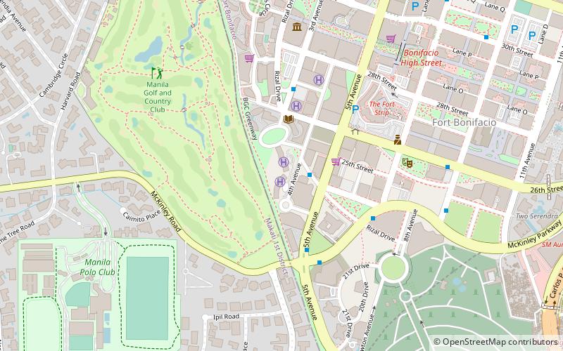
Map
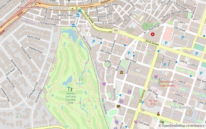
Map

Facts and practical information
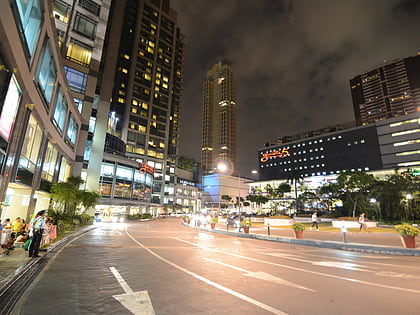
Burgos Circle, also known as Padre Burgos Circle, is a traffic circle within the Bonifacio Global City in Taguig, Metro Manila in the Philippines. Developed as part of the Forbes Town Center mixed-use development developed by the Megaworld Corporation and named after martyred priest José Burgos of Gomburza, it serves as the intersection between Forbestown Road, 1st Avenue, 2nd Avenue, and 29th Street. ()
Coordinates: 14°33'10"N, 121°2'38"E
Address
Taguig District 2 (Fort Bonifacio)Taguig
ContactAdd
Social media
Add
Day trips
Burgos Circle – popular in the area (distance from the attraction)
Nearby attractions include: Manila American Cemetery, Market! Market!, Power Plant Mall, Glorietta.
Frequently Asked Questions (FAQ)
Which popular attractions are close to Burgos Circle?
Nearby attractions include The Mind Museum, Taguig (4 min walk), Pacific Plaza Towers, Taguig (8 min walk), Kalayaan Flyover, Makati (9 min walk), One McKinley Place, Taguig (10 min walk).
How to get to Burgos Circle by public transport?
The nearest stations to Burgos Circle:
Bus
Light rail
Ferry
Bus
- Crescent Park West • Lines: Arca South Express, C, N, (N) Nr, Wx (4 min walk)
- Bonifacio Stopover • Lines: C, N, (N) Nr, Wx (5 min walk)
Light rail
- Buendia • Lines: 3 (18 min walk)
- Guadalupe • Lines: 3 (26 min walk)
Ferry
- Guadalupe • Lines: Pasig River Ferry (28 min walk)
- Hulo • Lines: Pasig River Ferry (33 min walk)


