Summit One Tower, Mandaluyong
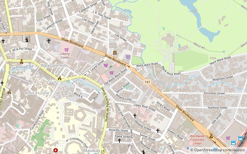
Map
Facts and practical information
The Summit One Tower is an office skyscraper located in Mandaluyong, Philippines. Originally built as a condominium project called Paladium Summit but when the concrete shell was completed the project fell through until a local tycoon bought and converted it into an office tower. Summit One Tower was previously owned and managed by Facilities Incorporated. ()
Completed: 1998 (28 years ago)Floors: 49Coordinates: 14°35'12"N, 121°2'46"E
Address
Mandaluyong District 1 (Highway Hills)Mandaluyong
ContactAdd
Social media
Add
Getting there by public transportation
Public transportation stops near this location
- Bus
- Light rail
 Bus
Bus
- Calculate routeParklea Jeepney Terminal 14 min walk
- Calculate routeUV Express - Sta Rosa 16 min walk
- Calculate routePUJ Morong-Tanay 16 min walk
- Calculate routeJeepney Terminal 19 min walk
- Calculate routeOrtigas 19 min walk
- Calculate routeBoni 23 min walk
Day trips


Frequently Asked Questions (FAQ)
Which popular attractions are close to Summit One Tower?
Nearby attractions include Shaw Boulevard, Mandaluyong (2 min walk), Wack Wack Twin Towers, Mandaluyong (5 min walk), 8 Wack Wack Road, Mandaluyong (7 min walk), One Shangri-La Place, Mandaluyong (19 min walk).
How to get to Summit One Tower by public transport?
The nearest stations to Summit One Tower:
Bus
Light rail
Bus
- Parklea Jeepney Terminal (14 min walk)
- UV Express - Sta Rosa (16 min walk)
Light rail
- Ortigas • Lines: 3 (19 min walk)
- Boni • Lines: 3 (23 min walk)