San Antonio

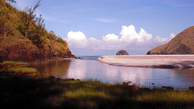
Gallery (3)
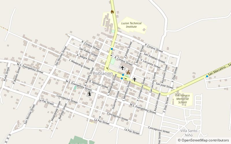
Map
Map
Gallery
Facts and practical information
San Antonio, officially the Municipality of San Antonio, is a 2nd class municipality in the province of Zambales, Philippines. According to the 2020 census, it has a population of 37,450 people. ()
Alternative names: Founded: 1849 (177 years ago)Population: 34.2 thous.Area: 72.63 mi²Coordinates: 14°56'55"N, 120°5'20"E
Location
Zambales
ContactAdd
Social media
Add
Day trips


