Mount San Cristobal

Gallery (2)
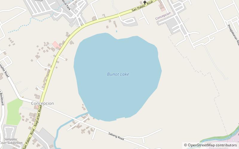
Map
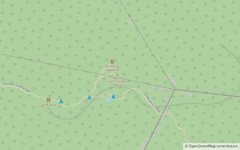
Map
Gallery
Facts and practical information
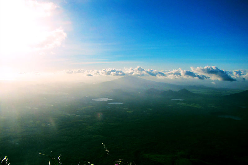
Mount San Cristobal is a potentially active stratovolcano at the boundary of the provinces of Laguna and Quezon on the island of Luzon, Philippines. The mountain rises to an elevation of 1,470 m above mean sea level and is one of the volcanic features of Macolod Corridor. ()
Elevation: 4823 ftCoordinates: 14°3'52"N, 121°25'37"E
Location
Laguna
ContactAdd
Social media
Add
Day trips