Mounts Banahaw–San Cristobal Protected Landscape
Map
Gallery
Facts and practical information
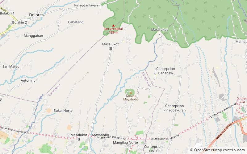
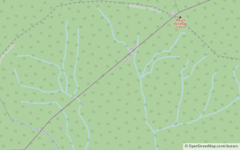
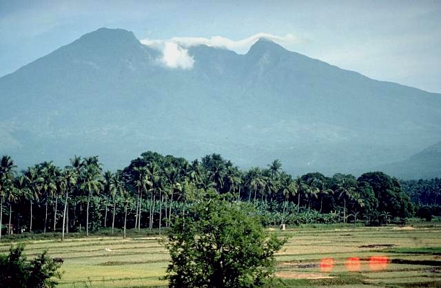
Mounts Banahaw–San Cristobal Protected Landscape is a protected landscape park in the Calabarzon region of the Philippines, 120 kilometres south of Manila. It is the second largest protected area in Calabarzon, after the Upper Marikina River Basin Protected Landscape, with an area of 10,900.59 hectares. The park is located at the border of Laguna and Quezon provinces and includes the features it is named after: Mount Banahaw and, 7 kilometres to its west, Mount San Cristobal. ()
Coordinates: 14°3'49"N, 121°29'17"E
Location
Quezon
ContactAdd
Social media
Add
Day trips
Mounts Banahaw–San Cristobal Protected Landscape – popular in the area (distance from the attraction)
Nearby attractions include: Lucban Church, Nagcarlan Underground Cemetery, Mount San Cristobal, Mount Banahaw.

