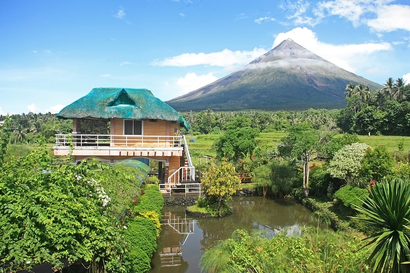
Camalig Church

Gallery (1)
Map
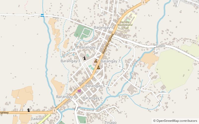
Map
Facts and practical information
Camalig Church (address: Pan-Philippine Highway) is a place located in the Philippines and belongs to the category of city hall, town.
It is situated at an altitude of 433 feet, and its geographical coordinates are 13°10'55"N latitude and 123°39'22"E longitude.
Among other places and attractions worth visiting in the area are: Camalig (locality, 3 min walk), Cagsawa RuinsLegazpi City (church, 83 min walk), DaragaLegazpi City (area, 95 min walk).
Coordinates: 13°10'55"N, 123°39'22"E
Location
Pan-Philippine HighwayAlbay
ContactAdd
Social media
Add
Day trips