Bonifacio Drive

Gallery (1)
Map
Map
Facts and practical information
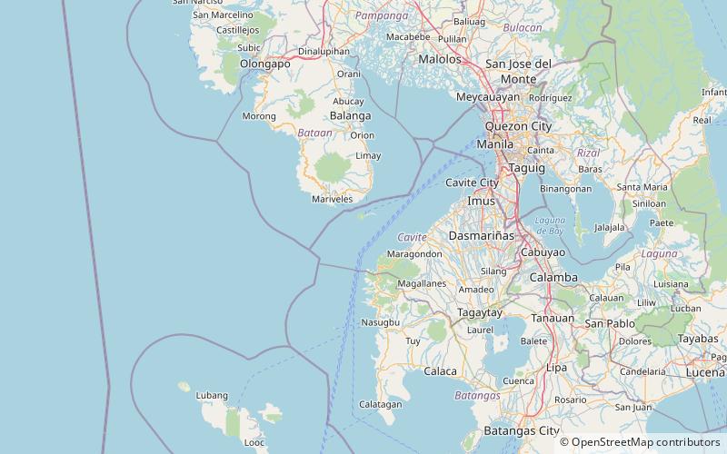
Bonifacio Drive is a road running for approximately 1 kilometer in a north-south direction between Intramuros and Port Area in Manila, Philippines. The boulevard is also designated as Radial Road 1 of Manila's arterial road network, National Route 120 of the Philippine highway network and an auxiliary route of Asian Highway 26. ()
Length: 3281 ftCoordinates: 14°21'8"N, 120°34'52"E
Location
Bataan
ContactAdd
Social media
Add
Day trips