Intramuros, Manila
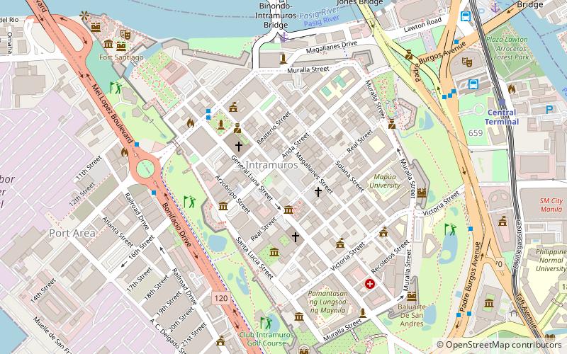
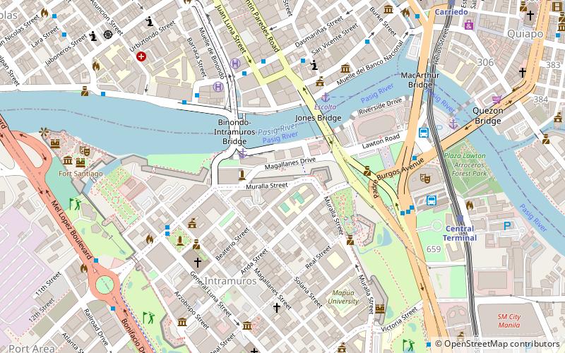
Map
Facts and practical information
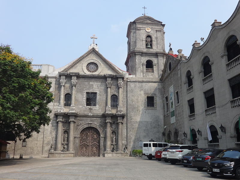
Museo de Intramuros is an ecclesiastical museum operated and managed by the Intramuros Administration. It is located at the reconstructed San Ignacio Church and Convent within the historic walled area of Intramuros in Manila, Philippines. ()
Coordinates: 14°35'26"N, 120°58'30"E
Address
General Luna StIntramurosManila 1002
Contact
+63 2 527 4084
Social media
Add
Getting there by public transportation
Public transportation stops near this location
- Metro
- Bus
- Light rail
- Ferry
 Metro
Metro
- Calculate routeIntramuros 8 min walk
- Calculate routeManila City Hall 11 min walk
- Calculate routeEscolta 12 min walk
- Calculate routeLawton 15 min walk
- Calculate routeManila Pier 4 36 min walk
- Calculate routeCentral Terminal 12 min walk
- Calculate routeCarriedo 19 min walk
- Calculate routeUnited Nations 22 min walk
- Calculate routeDoroteo Jose 29 min walk
- Calculate routeRecto 28 min walk
- Calculate routeLegarda 35 min walk
Day trips


Frequently Asked Questions (FAQ)
Which popular attractions are close to Intramuros?
Nearby attractions include Bahay Tsinoy, Manila (1 min walk), Intramuros, Manila (1 min walk), Casa Manila, Manila (2 min walk), Manila Cathedral, Manila (3 min walk).
How to get to Intramuros by public transport?
The nearest stations to Intramuros:
Bus
Ferry
Light rail
Metro
Bus
- Intramuros • Lines: 2, P2P UBE-Robinsons (8 min walk)
- Manila City Hall • Lines: 312, T378 (11 min walk)
Ferry
- Escolta • Lines: Pasig River Ferry (12 min walk)
- Lawton • Lines: Pasig River Ferry (15 min walk)
Light rail
- Central Terminal • Lines: 1 (12 min walk)
- Carriedo • Lines: 1 (19 min walk)
Metro
- Recto • Lines: 2 (28 min walk)
- Legarda • Lines: 2 (35 min walk)