Mount Data

Gallery (1)
Map

Map
Facts and practical information
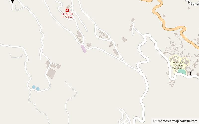
Mount Data is a mountain located in the Cordillera Central mountain range rising to a height of 2,310 metres in the north of Luzon Island, Philippines. It is about 100 kilometres north of Baguio on the borders of the provinces of Benguet and Mountain Province along the Halsema Highway. The mountain and surrounding area has been declared a national park since 1936. In 1940 the park was expanded to 5,513 hectares. The slopes of the mountain are covered with pine forests and mossy oak forests. ()
Location
Mountain Province
ContactAdd
Social media
Add
Day trips