Port Area, Manila
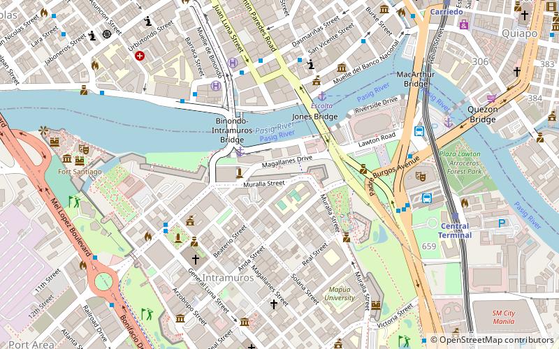
Map

Map

Facts and practical information
The Port Area is a district of the city of Manila, Philippines. Post-war developments at the Manila South Harbor eventually paved the way for the migration of people from the different provinces, making it one of the largest urban poor community in the Philippines. ()
Coordinates: 14°35'20"N, 120°58'8"E
Address
South HarborManila
ContactAdd
Social media
Add
Day trips
Port Area – popular in the area (distance from the attraction)
Nearby attractions include: Manila Ocean Park, Fort Santiago, Manila Cathedral, San Agustin Church.
Frequently Asked Questions (FAQ)
Which popular attractions are close to Port Area?
Nearby attractions include Anda Monument, Manila (5 min walk), San Ignacio Church, Manila (7 min walk), Cuartel de Santa Lucia, Manila (9 min walk), Caloocan Cathedral, Manila (9 min walk).
How to get to Port Area by public transport?
The nearest stations to Port Area:
Bus
Ferry
Light rail
Metro
Bus
- Intramuros • Lines: 2, P2P UBE-Robinsons (9 min walk)
- San Nicolas • Lines: T330 (14 min walk)
Ferry
- Escolta • Lines: Pasig River Ferry (20 min walk)
- Lawton • Lines: Pasig River Ferry (25 min walk)
Light rail
- Central Terminal • Lines: 1 (23 min walk)
- Carriedo • Lines: 1 (28 min walk)
Metro
- Recto • Lines: 2 (36 min walk)


