Mount Mayabobo
Map
Facts and practical information
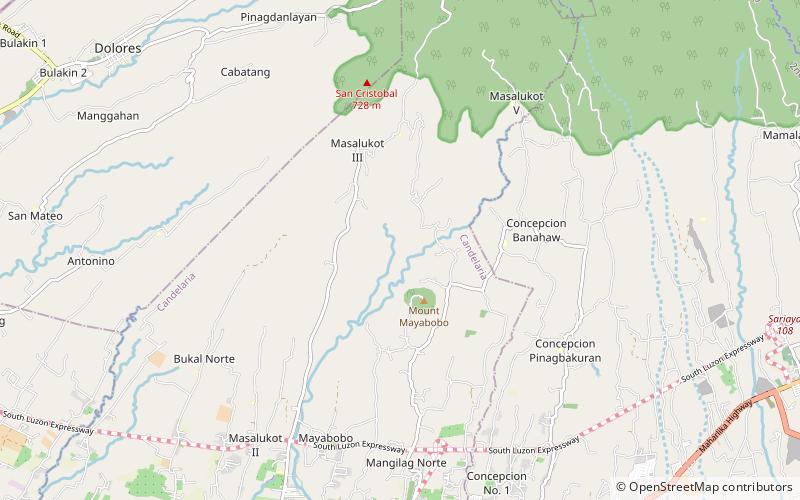
Mount Mayabobo is a cinder cone situated at the base of Mount Banahaw, in Barangay Mayabobo, Candelaria, Quezon in Luzon island, Philippines. Approximately with a height of 300 metres, it is a tourist destination for local residents of Candelaria and nearby municipalities, since it has a telecommunication site at its summit for sight-seeing and hiking. ()
Elevation: 984 ftCoordinates: 13°58'60"N, 121°26'60"E
Location
Quezon
ContactAdd
Social media
Add
Day trips


