Santo Rosario de Pasig Church, Pasig


Facts and practical information
Nestled in the bustling city of Pasig, Philippines, the Santo Rosario de Pasig Church stands as a spiritual beacon for the local Catholic community. This sacred edifice is not only a place of worship but also a historical landmark that has withstood the test of time, serving the faithful for generations.
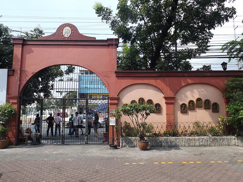
The church, also known as the Immaculate Conception Cathedral, is renowned for its beautiful architecture that combines elements of both classical and contemporary design. Its façade is adorned with intricate details and religious iconography that immediately draw the eye, inviting worshippers and visitors alike to step inside and experience a sense of peace and reverence.
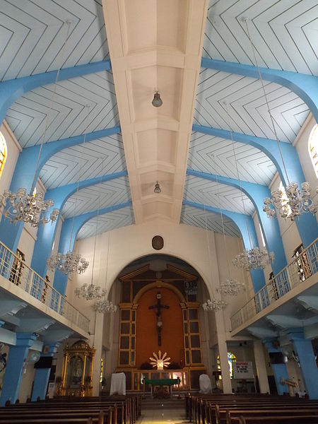
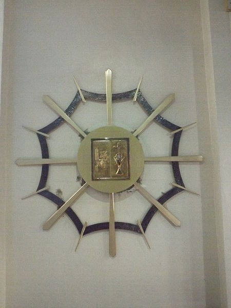
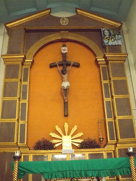
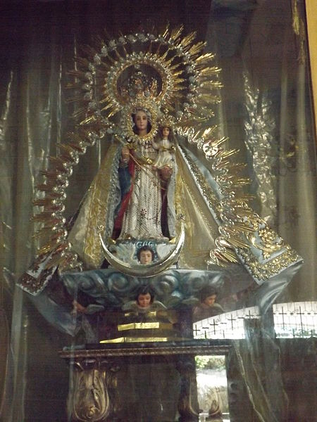
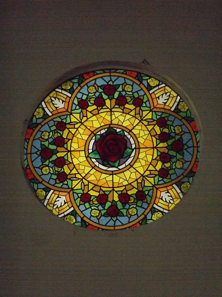
Inside the Santo Rosario de Pasig Church, one is greeted by the serene ambiance that is characteristic of a place devoted to spiritual contemplation and prayer. The interior is elegantly appointed with religious art and statues that reflect the deep-rooted Catholic heritage of the Philippines. Stained glass windows cast colorful light across the nave, adding to the church's awe-inspiring atmosphere.
As a central place of worship in Pasig, the church plays a crucial role in the community, hosting regular Masses, sacraments, and religious festivals that are attended by throngs of devotees. It is a site where life's milestones are celebrated – from baptisms and weddings to solemn funerals.
The Santo Rosario de Pasig Church is not only significant for its religious functions but also for its historical value. It has witnessed the evolution of Pasig City from its days as a provincial town to its current status as a vibrant urban center. Despite modern developments encroaching upon its surroundings, the church remains a testament to the enduring faith and cultural identity of the local populace.
Visitors to the Santo Rosario de Pasig Church can expect to be welcomed into a community that values tradition, spirituality, and the preservation of its historical legacy. Whether attending a service or simply admiring the church's architectural beauty, the experience is sure to leave a lasting impression.
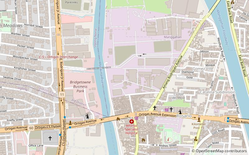
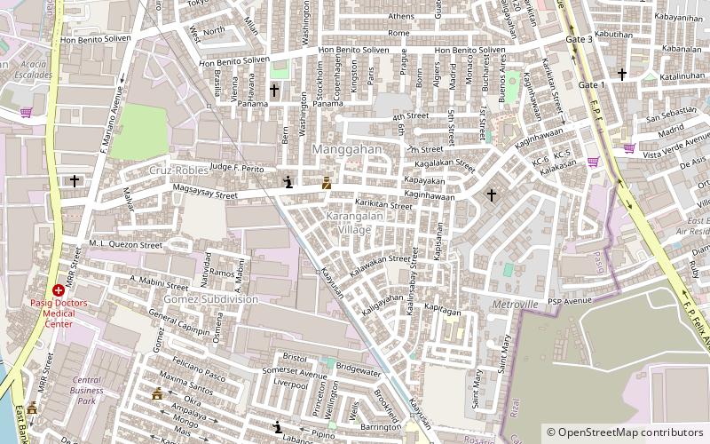
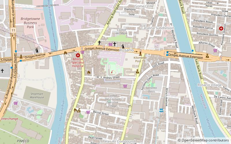
Ortigas Ave. ExtensionPasig City District 2 (Rosario)Pasig
- Bus
- Ferry
 Bus
Bus
- Calculate routeTricycle Terminal 5 min walk
- Calculate routeRosario 13 min walk
- Calculate routeUV Exp - Market Market 18 min walk
- Calculate routeMaybunga Ferry Station 24 min walk


Frequently Asked Questions (FAQ)
Which popular attractions are close to Santo Rosario de Pasig Church?
How to get to Santo Rosario de Pasig Church by public transport?
Bus
- Tricycle Terminal (5 min walk)
- Rosario • Lines: 19, 205 (13 min walk)
Ferry
- Maybunga Ferry Station • Lines: Pasig River Ferry (24 min walk)