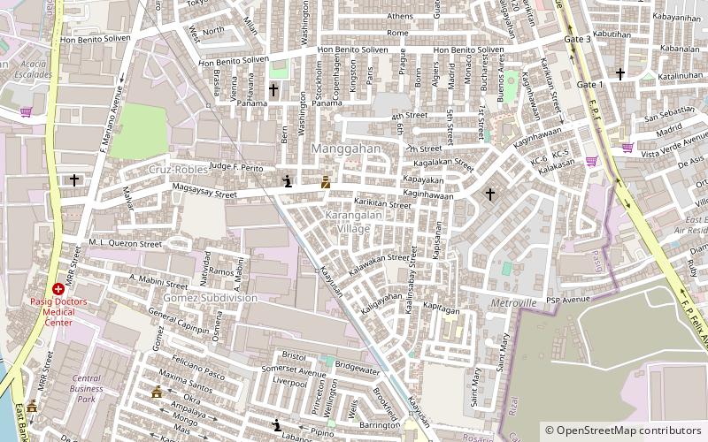
Karangalan Village, Quezon City
Map
Facts and practical information
Karangalan Village is a residential area located at Barangays Manggahan and Dela Paz in Pasig. ()
Coordinates: 14°36'9"N, 121°5'58"E
Address
Pasig City District 2 (Manggahan)Quezon City
ContactAdd
Social media
Add
Getting there by public transportation
Public transportation stops near this location
- Bus
 Bus
Bus
- Calculate routeUV Exp - Market Market 23 min walk
- Calculate routeJeepney Terminal 31 min walk
- Calculate routeTricycle Terminal 29 min walk
Day trips


Frequently Asked Questions (FAQ)
Which popular attractions are close to Karangalan Village?
Nearby attractions include Karangalan Village, Quezon City (16 min walk), Circulo Verde, Quezon City (21 min walk).
How to get to Karangalan Village by public transport?
The nearest stations to Karangalan Village:
Bus
Bus
- UV Exp - Market Market (23 min walk)
- Jeepney Terminal (31 min walk)