San Francisco Church, Manila
Map

Map

Facts and practical information
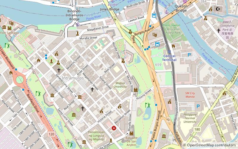
The San Francisco Church is a defunct church along San Francisco and Solana Streets in the walled city of Intramuros, Manila, Philippines. The church, which used to be the center of the Franciscan missions in the Philippines, was destroyed during the Second World War. The site has been occupied by Mapúa University since the war. ()
Coordinates: 14°35'28"N, 120°58'41"E
Day trips
San Francisco Church – popular in the area (distance from the attraction)
Nearby attractions include: Manila Cathedral, San Agustin Church, Plaza de Roma, Casa Manila.
Frequently Asked Questions (FAQ)
Which popular attractions are close to San Francisco Church?
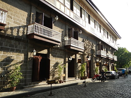
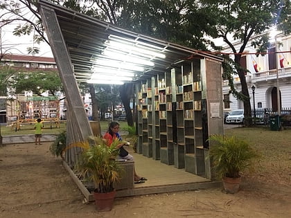
Nearby attractions include Bahay Tsinoy, Manila (6 min walk), Intramuros, Manila (6 min walk), Colegio de San Juan de Letran, Manila (6 min walk), Intramuros, Manila (6 min walk).
How to get to San Francisco Church by public transport?
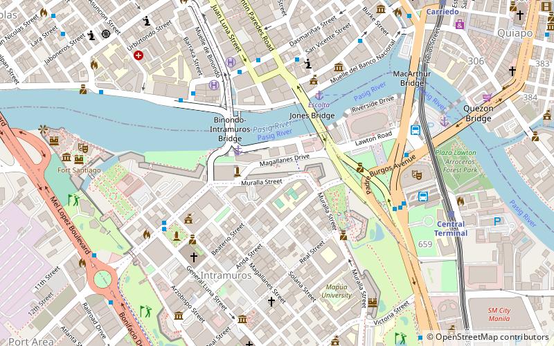
The nearest stations to San Francisco Church:
Bus
Light rail
Ferry
Metro
Bus
- Park & Ride Lawton (6 min walk)
- Manila City Hall • Lines: 312, T378 (6 min walk)
Light rail
- Central Terminal • Lines: 1 (7 min walk)
- Carriedo • Lines: 1 (15 min walk)
Ferry
- Escolta • Lines: Pasig River Ferry (10 min walk)
- Lawton • Lines: Pasig River Ferry (10 min walk)
Metro
- Recto • Lines: 2 (24 min walk)
- Legarda • Lines: 2 (30 min walk)


