Robinsons Metro East, Pasig


Facts and practical information
Nestled in the bustling city of Pasig, Philippines, Robinsons Metro East stands as a vibrant beacon for shoppers and leisure seekers alike. This expansive shopping center, with its wide array of retail outlets, dining options, and entertainment facilities, provides a comprehensive shopping experience for the residents of Pasig and nearby areas.
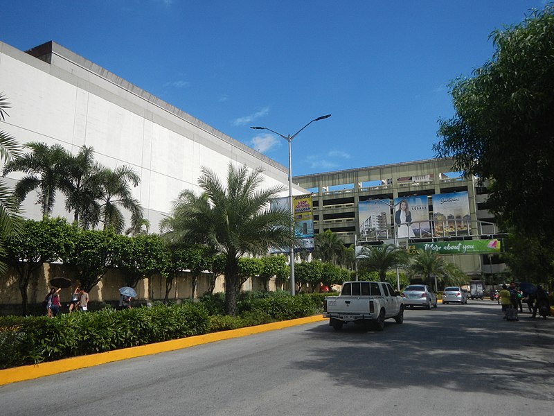
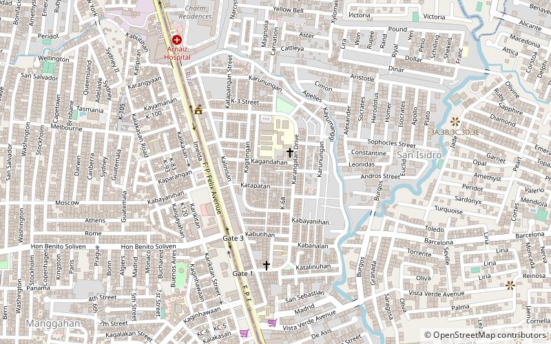
Established as a key player in the retail industry, Robinsons Metro East is part of the Robinsons Malls chain, one of the largest and most successful mall operators in the Philippines. With its strategic location along Marcos Highway, it is easily accessible to the public, making it a popular destination for families, friends, and individuals looking to indulge in some retail therapy or simply enjoy a day out.
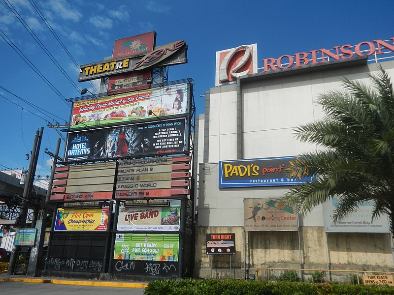
The shopping center boasts a diverse selection of stores ranging from local brands to international franchises, offering everything from fashion and beauty products to gadgets and home appliances. The mall's layout is designed to provide convenience and comfort to its patrons, with spacious corridors, ample lighting, and modern facilities that enhance the shopping experience.
For food enthusiasts, Robinsons Metro East presents a plethora of culinary delights. The food court and various restaurants cater to a wide range of tastes, whether one is in the mood for a quick snack or a sumptuous meal. The mall also features a supermarket where shoppers can find fresh produce and daily essentials.
Entertainment is a key aspect of Robinsons Metro East, with a multiplex cinema showing the latest blockbusters, a gaming arcade for the young and young-at-heart, and various events and promotions that take place throughout the year. These activities create a lively atmosphere that draws in crowds and keeps them engaged.
- Metro
- Bus
 Metro
Metro
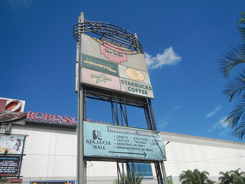
- Calculate routeRobinsons Transport Terminal 2 min walk
- Calculate routeSanta Lucia Mall 4 min walk
- Calculate routeAyala Malls Feliz 10 min walk
- Calculate routeMarikina Transport Terminal 28 min walk
- Calculate routeMarikina 3 min walk
- Calculate routeSantolan 25 min walk


Frequently Asked Questions (FAQ)
How to get to Robinsons Metro East by public transport?
Bus
- Robinsons Transport Terminal (2 min walk)
- Santa Lucia Mall • Lines: 9, 9C, Modern Jeepney (4 min walk)
Metro
- Marikina • Lines: 2 (3 min walk)
- Santolan • Lines: 2 (25 min walk)