Napindan Lighthouse, Taguig
Map
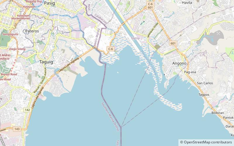
Map

Facts and practical information
The Napindan Lighthouse was a lighthouse in Taguig, Rizal. It served as a meeting point for the Katipunan, a revolutionary group that led the Philippine Independence movement. It was destroyed during the Philippine–American War. ()
Coordinates: 14°31'14"N, 121°6'58"E
Address
Taguig
ContactAdd
Social media
Add
Day trips
Napindan Lighthouse – popular in the area (distance from the attraction)
Nearby attractions include: Pasig City Museum, SM City Taytay, Pasig Revolving Tower, Pasig Rainforest Park.
Frequently Asked Questions (FAQ)
How to get to Napindan Lighthouse by public transport?
The nearest stations to Napindan Lighthouse:
Ferry
Ferry
- Pinagbuhatan • Lines: Pasig River Ferry (36 min walk)

