Manila Solar City, Manila

Map
Facts and practical information
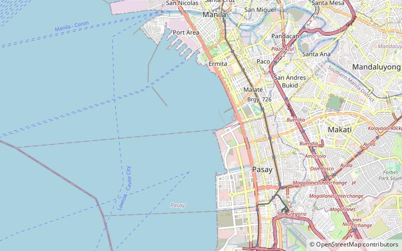
Manila Solar City is a proposed mixed-used development to be built on a 148 hectare reclaimed land in Manila Bay adjacent to the north of the Cultural Center of the Philippines Complex and west of the Manila Yacht Club. It will be developed by the consortium of the Manila Goldcoast Development Corporation and the City of Manila. ()
Coordinates: 14°33'29"N, 120°58'25"E
Address
Manila
ContactAdd
Social media
Add
Day trips
Manila Solar City – popular in the area (distance from the attraction)
Nearby attractions include: Star City, Manila Zoo, Metropolitan Museum of Manila, Jesus Is Lord Church Worldwide.
Frequently Asked Questions (FAQ)
Which popular attractions are close to Manila Solar City?
Nearby attractions include Coconut Palace, Pasay (12 min walk), Folk Arts Theater, Pasay (13 min walk), Tanghalang Pambansa, Pasay (13 min walk), APEC Sculpture Garden, Pasay (16 min walk).
How to get to Manila Solar City by public transport?
The nearest stations to Manila Solar City:
Bus
Bus
- Ccp • Lines: 403 (21 min walk)
- Ospital ng Maynila • Lines: 2, City Bus (supplemental) (23 min walk)


