Manggahan Floodway, Binangonan
Map
Gallery
Facts and practical information
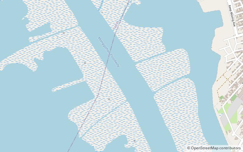
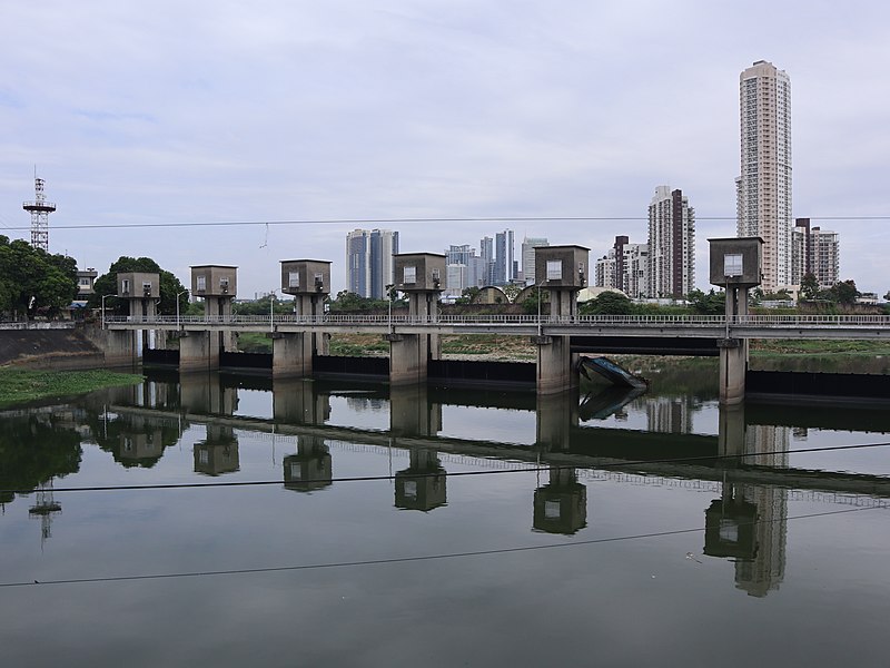
The Manggahan Floodway is an artificially constructed waterway in Metro Manila, the Philippines. The floodway was built in 1986, with the cost of 1.1 billion pesos, in order to reduce the flooding along the Pasig River during the rainy season, by diverting the peak water flows of the Marikina River to the Laguna de Bay which serves as a temporary reservoir. In case the water level on the lake is higher than the Marikina River, the floodway can also reverse the flow. ()
Coordinates: 14°31'30"N, 121°8'10"E
Address
Binangonan
ContactAdd
Social media
Add
Day trips
Manggahan Floodway – popular in the area (distance from the attraction)
Nearby attractions include: Pasig City Museum, SM City Taytay, Angono Petroglyphs, Pasig Revolving Tower.

