Tramo Street, Pasay

Gallery (1)
Map
Map
Facts and practical information
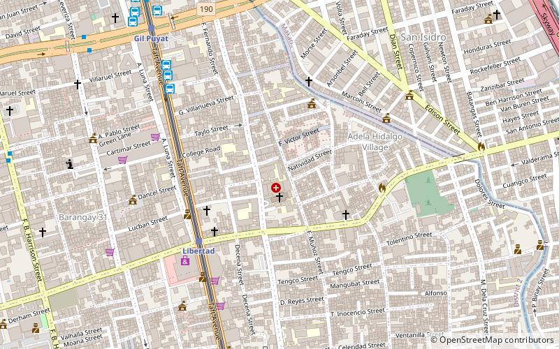
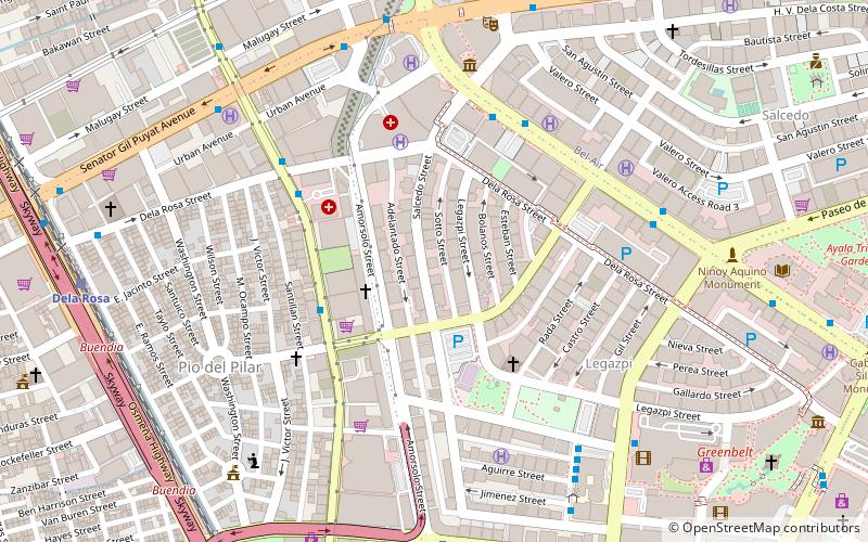
Tramo Street is a major local road in Pasay, Metro Manila, Philippines. It runs north-south from Pablo Ocampo Street in the border with Malate district to Andrews Avenue in Maricaban district. It is interrupted by Epifanio de los Santos Avenue and the MRT Line 3 line which divides the road into two sections, the southern section running from EDSA to Andrews Avenue having been renamed to Aurora Boulevard and a part of National Route 171 of the Philippine highway network. ()
Coordinates: 14°32'59"N, 121°0'4"E
Address
Pasay City District 2 (Barangay 60)Pasay
ContactAdd
Social media
Add
Getting there by public transportation
Public transportation stops near this location
- Bus
- Light rail
- Train
 Bus
Bus
- Calculate routeLibertad 6 min walk
- Calculate routeGil Puyat 11 min walk
- Calculate routeEdsa 19 min walk
- Calculate routeTaft Avenue 22 min walk
- Calculate routeGrand Star 8 min walk
- Calculate routeJAM Liner 8 min walk
- Calculate routeGreen Star Bus 8 min walk
- Calculate routeSouth Star Bus 9 min walk
- Calculate routeDela Rosa 18 min walk
- Calculate routePasay Road 19 min walk
- Calculate routeEdsa 31 min walk
Day trips


Frequently Asked Questions (FAQ)
Which popular attractions are close to Tramo Street?
Nearby attractions include Arnaiz Avenue, Makati (11 min walk), Gil Puyat Avenue, Makati (22 min walk), The Beacon – Arnaiz Tower, Makati (23 min walk), The Beacon – Roces Tower, Makati (23 min walk).
How to get to Tramo Street by public transport?
The nearest stations to Tramo Street:
Light rail
Bus
Train
Light rail
- Libertad • Lines: 1 (6 min walk)
- Gil Puyat • Lines: 1 (11 min walk)
Bus
- Grand Star (8 min walk)
- JAM Liner (8 min walk)
Train
- Dela Rosa (18 min walk)
- Pasay Road (19 min walk)