Pablo Ocampo Street, Manila
Map

Gallery

Facts and practical information
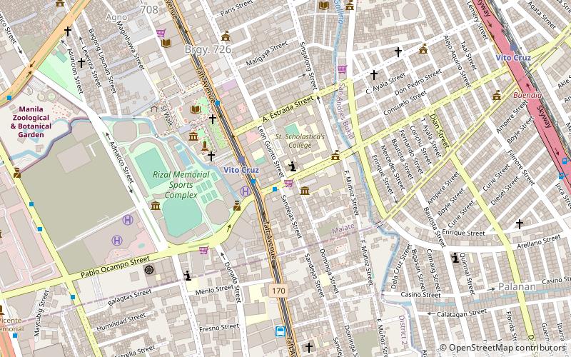
Pablo Ocampo Street, also known simply as Ocampo Street and formerly and still referred to as Vito Cruz Street, is an inner city main road in Manila, Philippines. It runs west–east for about 3.448 kilometers connecting the southern districts of Malate and San Andres southeast to the adjacent city of Makati. ()
Length: 2.14 miCoordinates: 14°33'47"N, 120°59'46"E
Day trips
Pablo Ocampo Street – popular in the area (distance from the attraction)
Nearby attractions include: Star City, Manila Zoo, Metropolitan Museum of Manila, Jesus Is Lord Church Worldwide.
Frequently Asked Questions (FAQ)
Which popular attractions are close to Pablo Ocampo Street?
Nearby attractions include Saint Cecilia's Hall, Manila (3 min walk), Chapel of the Most Blessed Sacrament, Manila (4 min walk), Taft Avenue, Manila (4 min walk), St. La Salle Hall, Manila (5 min walk).
How to get to Pablo Ocampo Street by public transport?
The nearest stations to Pablo Ocampo Street:
Bus
Light rail
Train
Bus
- Vito Cruz • Lines: 17, 312, 39, 6, T3138, T378 (13 min walk)
- De La Salle University - Manila • Lines: 403 (6 min walk)
Light rail
- Vito Cruz • Lines: 1 (3 min walk)
- Quirino • Lines: 1 (15 min walk)
Train
- Vito Cruz (14 min walk)
- San Andres (19 min walk)


