Puente Colgante, Manila
Map

Map

Facts and practical information
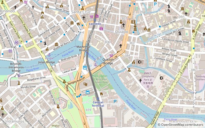
The Puente Colgante, originally called Puente de Clavería, was a suspension bridge that connected the Manila districts of Quiapo and Ermita across the Pasig River in the Philippines. Designed by Matia, Menchacatorre and Cía. completed in 1852, it was the first wire-cable suspension bridge in Asia and the first toll bridge of its kind in the Philippines. It was replaced by Quezon Bridge in 1939. ()
Address
QuiapoManila
ContactAdd
Social media
Add
Day trips
Puente Colgante – popular in the area (distance from the attraction)
Nearby attractions include: Bahay Nakpil-Bautista, SM Quiapo, Santa Cruz Church, Recto Avenue.
Frequently Asked Questions (FAQ)
Which popular attractions are close to Puente Colgante?
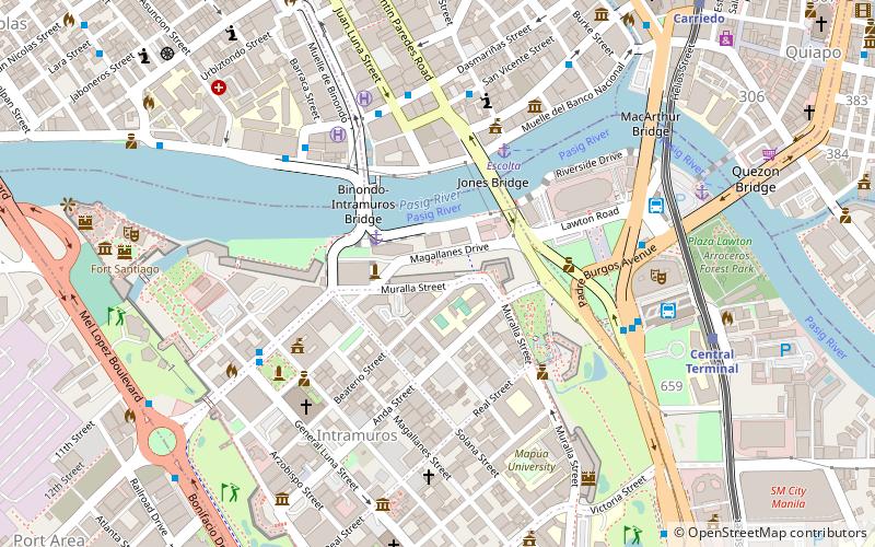
Nearby attractions include Quinta Market, Manila (2 min walk), Quezon Bridge, Manila (2 min walk), Arroceros Forest Park, Manila (3 min walk), MacArthur Bridge, Manila (4 min walk).
How to get to Puente Colgante by public transport?
The nearest stations to Puente Colgante:
Ferry
Bus
Light rail
Metro
Train
Ferry
- Lawton • Lines: Pasig River Ferry (2 min walk)
- Escolta • Lines: Pasig River Ferry (8 min walk)
Bus
- Manila Multi-modal Terminal (3 min walk)
- Lawton • Lines: 17, 39, 6, T3138, T378 (5 min walk)
Light rail
- Central Terminal • Lines: 1 (5 min walk)
- Carriedo • Lines: 1 (7 min walk)
Metro
- Recto • Lines: 2 (15 min walk)
- Legarda • Lines: 2 (21 min walk)
Train
- Tutuban (33 min walk)
- España (39 min walk)


