Puente de España, Manila
Map

Map

Facts and practical information
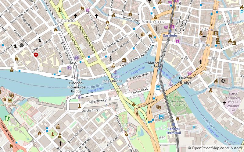
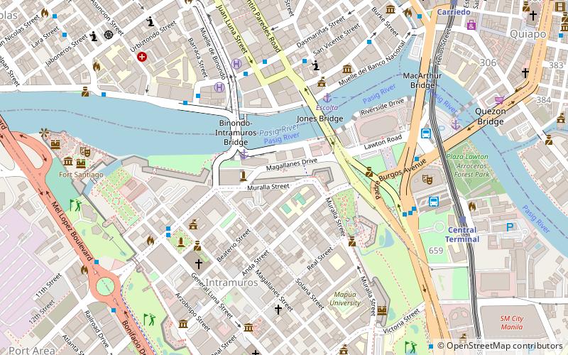
The Puente de España, or the Bridge of Spain, was a bridge that spanned the Pasig River in the Philippines, connecting the areas of Binondo and Ermita, Manila on Calle Nueva with central Manila. The span was the oldest established in the country before it was damaged by flood in 1914. The bridge was replaced by the Jones Bridge that was started in 1916 and completed in 1921, located one block downriver from Puente de España on Calle Rosario. ()
Opened: 1630 (396 years ago)Length: 414 ftWidth: 22 ftCoordinates: 14°35'46"N, 120°58'41"E
Address
ErmitaManila
ContactAdd
Social media
Add
Day trips
Puente de España – popular in the area (distance from the attraction)
Nearby attractions include: 168 Shopping Mall, Tutuban Center, Binondo Church, SM Quiapo.
Frequently Asked Questions (FAQ)
Which popular attractions are close to Puente de España?
Nearby attractions include Jones Bridge, Manila (2 min walk), Capitol Theater, Manila (2 min walk), Plaza Moraga, Manila (3 min walk), Liwasang Bonifacio, Manila (4 min walk).
How to get to Puente de España by public transport?
The nearest stations to Puente de España:
Ferry
Bus
Light rail
Metro
Train
Ferry
- Escolta • Lines: Pasig River Ferry (1 min walk)
- Lawton • Lines: Pasig River Ferry (6 min walk)
Bus
- Yuchengco • Lines: T330 (4 min walk)
- Escolta • Lines: T330 (4 min walk)
Light rail
- Carriedo • Lines: 1 (8 min walk)
- Central Terminal • Lines: 1 (9 min walk)
Metro
- Recto • Lines: 2 (17 min walk)
- Legarda • Lines: 2 (27 min walk)
Train
- Tutuban (30 min walk)


