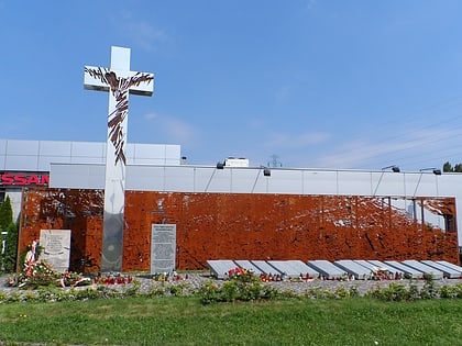
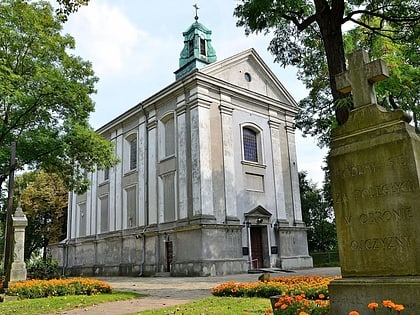
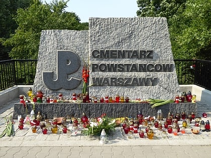
Wolska Street, Warsaw
Facts and practical information
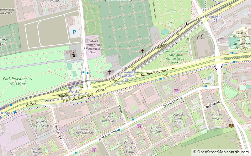
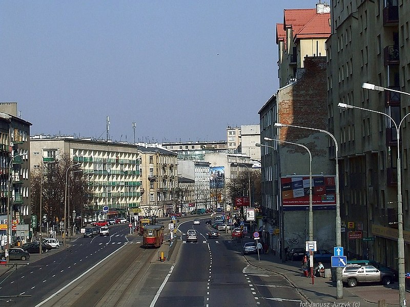
Wolska is the main artery of Warsaw's borough of Wola. Initially Wola district was but a western suburb of Warsaw and a road leading to it was dubbed "droga wolska" - Wola road. In 1725 parts of that road closest to the Warsaw Old Town, located along the Saxon Axis, were officially renamed to "Aleja Wolska" - Wola Avenue. In modern times it starts at a crossing of Chłodna and Towarowa Streets, and runs as a continuation of Solidarity Avenue through the neighbourhoods of Młynów, Czyste and Ulrychów, all the way to Połczyńska Street. ()
Wola (Odolany)Warsaw
Wolska Street – popular in the area (distance from the attraction)
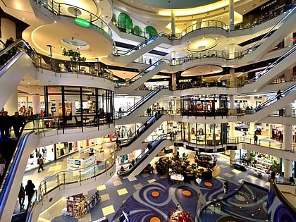
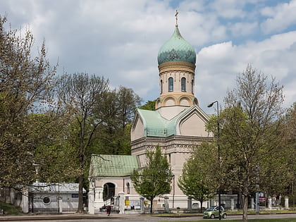
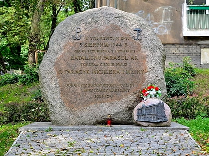
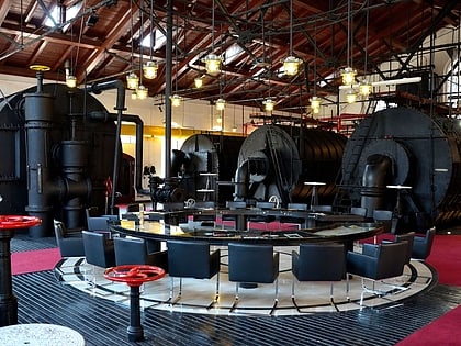
Nearby attractions include: Blue City, St. John Climacus's Orthodox Church, Michler's Palace, Warsaw Gasworks Museum.
Frequently Asked Questions (FAQ)
Which popular attractions are close to Wolska Street?
How to get to Wolska Street by public transport?
Tram
- Cmentarz Prawosławny 02 • Lines: 10, 11, 13, 26, 27 (1 min walk)
- Reduta Wolska 06 • Lines: 10, 11, 13, 26, 27 (4 min walk)
Bus
- Reduta Wolska 03 • Lines: 105 (3 min walk)
- Reduta Wolska 08 • Lines: 154, 167, 197, N42 (3 min walk)
Train
- Warszawa Wola (15 min walk)
- Warszawa Reduta Ordona (23 min walk)
Metro
- Księcia Janusza • Lines: M2 (23 min walk)
- Młynów • Lines: M2 (25 min walk)

