Wola, Warsaw
Map
Gallery
Facts and practical information
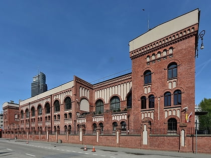
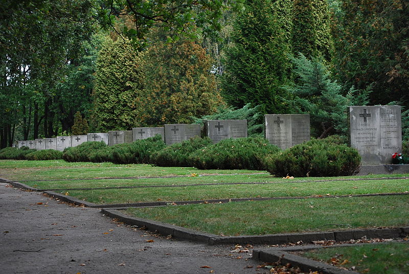
Wola is a district in western Warsaw, Poland, formerly the village of Wielka Wola, incorporated into Warsaw in 1916. An industrial area with traditions reaching back to the early 19th century, it underwent a transformation into an office and residential district. Several museums are located in Wola, notably the Warsaw Uprising Museum. ()
Day trips
Wola – popular in the area (distance from the attraction)
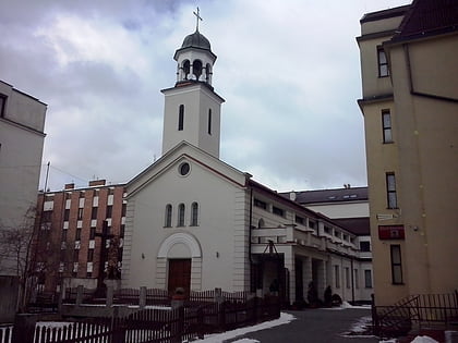
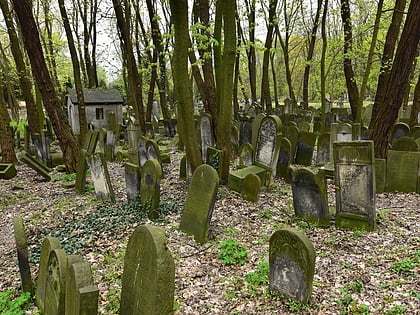
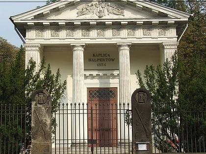
Nearby attractions include: Warsaw Uprising Museum, Powązki Cemetery, Shrine of St. Faustina, Jewish Cemetery.
Frequently Asked Questions (FAQ)
Which popular attractions are close to Wola?
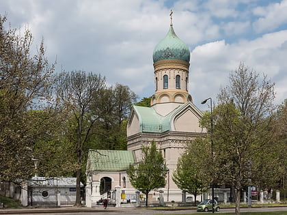
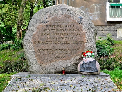
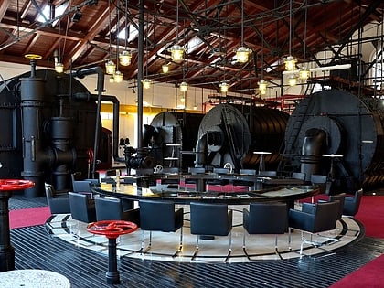
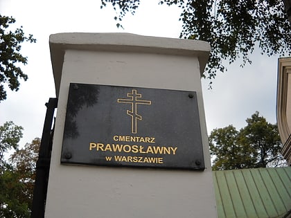
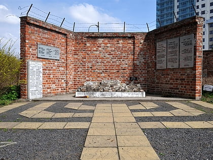
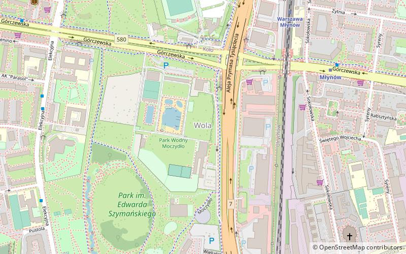
Nearby attractions include Wola Massacre Memorial, Warsaw (5 min walk), Park Moczydło, Warsaw (11 min walk), Młynów, Warsaw (11 min walk), Orthodox Cemetery, Warsaw (15 min walk).
How to get to Wola by public transport?
The nearest stations to Wola:
Bus
Metro
Train
Tram
Bus
- Metro Młynów 03 • Lines: 136, 186, 414, 523, N43 (3 min walk)
- Metro Młynów 01 • Lines: 136, 171, 190, N42 (4 min walk)
Metro
- Młynów • Lines: M2 (6 min walk)
- Płocka • Lines: M2 (14 min walk)
Train
- Warszawa Młynów (7 min walk)
- Warszawa Wola (12 min walk)
Tram
- Sokołowska 03 • Lines: 10, 11, 13, 26, 27 (10 min walk)
- PKP Wola 04 • Lines: 10, 11, 13, 26, 27 (10 min walk)
