Bednarska Street, Warsaw
Map
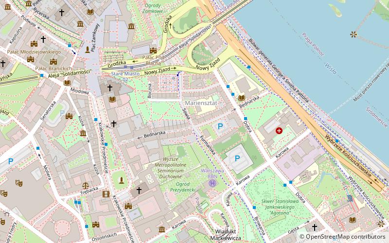
Map

Facts and practical information
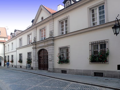
The Bednarska Street in Warsaw, Poland, is a street in Warsaw's Śródmieście borough, and is the narrowest street in Warsaw. The street received its current name before the year 1743, stemming from its upper part consisting of houses inhabited by artisans, probably mainly by coopers. Officially, the name was given in 1770. ()
Address
Śródmieścia (Powiśle)Warsaw
ContactAdd
Social media
Add
Day trips
Bednarska Street – popular in the area (distance from the attraction)
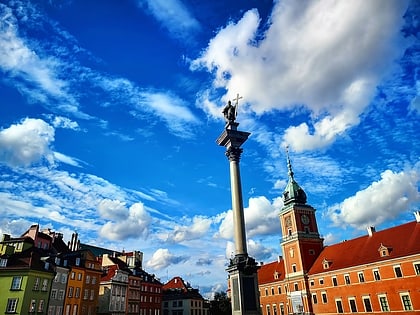
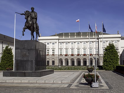
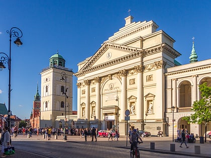
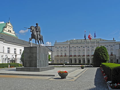
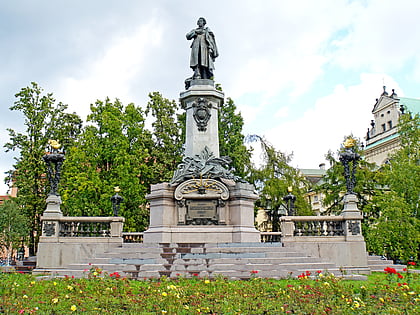
Nearby attractions include: Royal Castle, Sigismund's Column, Presidential Palace, St. Anne's Church.
Frequently Asked Questions (FAQ)
Which popular attractions are close to Bednarska Street?
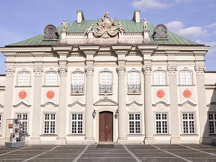
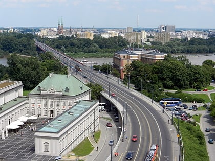
Nearby attractions include Mariensztat, Warsaw (1 min walk), Kazanowski Palace, Warsaw (4 min walk), Resursa Obywatelska Palace, Warsaw (4 min walk), Copper-Roof Palace, Warsaw (5 min walk).
How to get to Bednarska Street by public transport?
The nearest stations to Bednarska Street:
Bus
Tram
Metro
Train
Bus
- Mariensztat 01 • Lines: 106 (3 min walk)
- Mariensztat 03 • Lines: 118 (3 min walk)
Tram
- Stare Miasto 01 • Lines: 13, 20, 23, 26, 4 (5 min walk)
- Metro Ratusz Arsenał 09 • Lines: 13, 20, 23, 26, 4 (17 min walk)
Metro
- Nowy Świat-Uniwersytet • Lines: M2 (15 min walk)
- Centrum Nauki Kopernik • Lines: M2 (18 min walk)
Train
- Warszawa Powiśle (24 min walk)
- Warszawa Stadion (28 min walk)


